3577 Hwy 12 Burson, CA 95225-7150
Property profile & analytics
3577 Hwy 12, Burson, CA 95225-7150
- Commercial real estate
- 8.87 lot acres
Property ID
US09-2453038
The Realmo ID is a unique identifier assigned to every property, incorporating country codes and precise geo-coordinates for 300x300-foot land blocks. It enables standardized data collection and seamless integration of disparate sources such as ownership, tax, title data and physical specifications. By aggregating current and historical records, the Realmo ID powers advanced analytics and delivers deep, verifiable insights for real estate professionals.
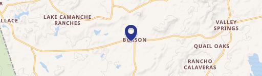
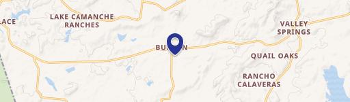
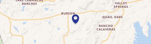
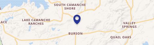
Location Intelligence
Current Use by Public Records
- Commercial real estate
Property Details for 3577 Hwy 12
- Lot size
- 8.87 lot acres
- Property type
- Commercial real estate
- APN
- 048-017-094-000
- APU
- 48017094000
Sales History
| Date | Price | Buyer | Seller | Deed Type | Mortgage |
|---|---|---|---|---|---|
| Dec 26, 2025 | — | Deltoolie Properties II LLC | Toole Del Carlo Trust | Grant Deed | — |
| Jan 30, 2020 | — | Carlo,toole-del Trust | — | Deed · related | $345k · Poppy Bk |
| Oct 11, 2019 | $650,000 | Carlo,toole-del Trust | Erin Urbanus | Grant Deed | — |
| Oct 11, 2019 | — | Don Urbanus | Lee A Urbanus | Quit Claim Deed · related | — |
| Dec 16, 2010 | $150,000 | Erin Urbanus | Urbanus,jerry L | Grant Deed · related | — |
| — | — | Carlo,toole-del Trust | — | Deed Of Trust · related | $345k · Poppy Bk |
Value Estimations
based on Realmo’s proprietary methodology
-
AI approach
-
CAP approach
-
Comparable approach
-
Alternative Use
Get a detailed, property-specific estimation — fast and free
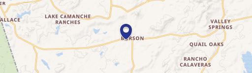
Location Insight
- Map
- Local Demand
- City
- Burson
- County
- Calaveras
- State
- California
- Longitude
- -120.898
- Latitude
- 38.1823
Property Tax & Assessments
Tax date
Tax Amount
Assessed Land Value
Assessed Improvement Value
Total Assessed Value
Applied Tax Rate
Land Market Value
Improvement Market Value
Total Market Value
2024
$7,893
$265,302
$424,483
$689,785
-
$0.00
$0.00
$0.00