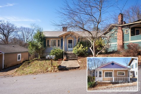
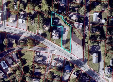
Property profile & analytics
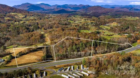
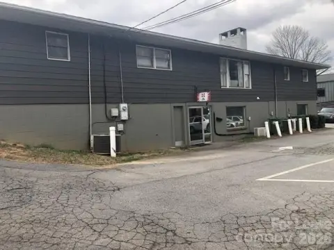
357 New Leicester Hwy Asheville, NC 28806-2046
- Commercial real estate
- 3,500 SF
- 0.79 lot acres
OFF-MARKET
Value Estimations
$1,385,000
Show details
Cap Rate Potential
Location Intelligence
Property ID
US53-1913405
The Realmo ID is a unique identifier assigned to every property, incorporating country codes and precise geo-coordinates for 300x300-foot land blocks. It enables standardized data collection and seamless integration of disparate sources such as ownership, tax, title data and physical specifications. By aggregating current and historical records, the Realmo ID powers advanced analytics and delivers deep, verifiable insights for real estate professionals.
Current Use by Public Records
- CitiStop 111 / Grocery & Convenience Store
- Shell / Grocery & Convenience Store
- ATM (Miles BP) / Atm
- Hunt Brothers Pizza / Restaurant
- Coin Cloud Bitcoin ATM / Atm / Crypto Atm
Property Details for 357 New Leicester Hwy
- Year built
- 1983
- Construction
- STEEL FRAME
- Lot size
- 0.79 lot acres
- Property size
- 3,500 SF
- Zone code
- DEED DATE:12/06/2017 DEED
- Property type
- Commercial real estate
- APN
- 9629-24-8383-00000
- APU
- 962924838300000
Value Estimations
based on Realmo’s proprietary methodology
-
Comparable approach
- Method
- Estimation
- Statistic Estimate
- $1,382,000
- AI Estimate
- $1,382,000
Market price range: $354k - $1.38MMarket price range: $354k - $1.38M -
Alternative Use
- Use
- Estimation
- AUTO REPAIR, GARAGE
- $895,000
Get a detailed, property-specific valuation — fast and free
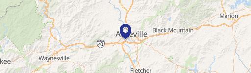
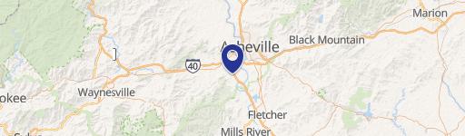
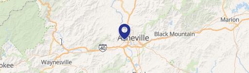
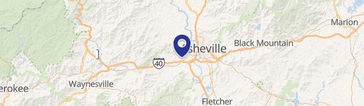
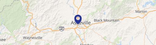
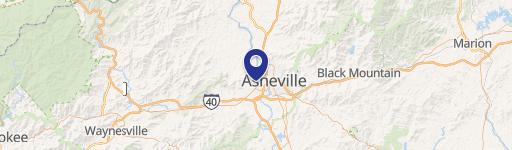
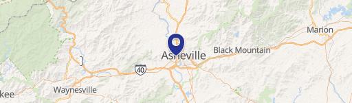
Location Insight
- Map
- Local Demand
- City
- Asheville
- County
- Buncombe
- State
- North Carolina
- Longitude
- -82.6244
- Latitude
- 35.6038
- CBSA code
- 11700
- CBSA name
- ASHEVILLE, NC METROPOLITAN STATISTICAL AREA
Property Tax & Assessments
Tax date
Tax Amount
Assessed Land Value
Assessed Improvement Value
Total Assessed Value
Applied Tax Rate
Land Market Value
Improvement Market Value
Total Market Value
2024
$8,677
$0.00
$0.00
$936,100
-
$610,800
$325,300
$936,100