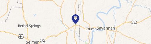
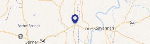
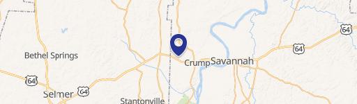
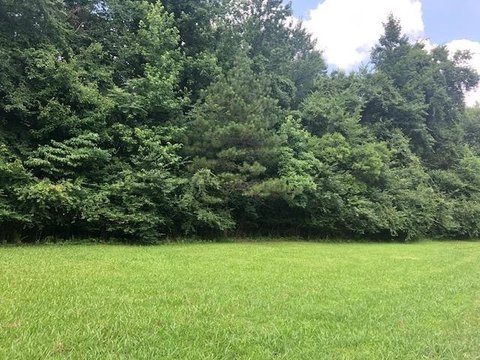
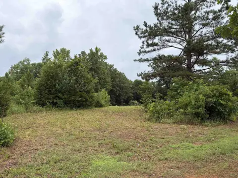
345 Us Hwy 64 Adamsville, TN 38310-4078
Property profile & analytics
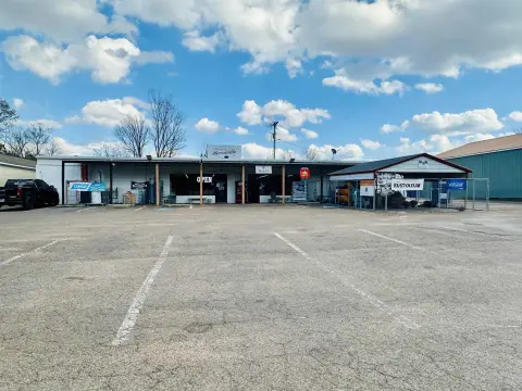
345 Us Hwy 64, Adamsville, TN 38310-4078
- Retail space
- 6,672 SF
- 1.24 lot acres
Property ID
US80-1575760
The Realmo ID is a unique identifier assigned to every property, incorporating country codes and precise geo-coordinates for 300x300-foot land blocks. It enables standardized data collection and seamless integration of disparate sources such as ownership, tax, title data and physical specifications. By aggregating current and historical records, the Realmo ID powers advanced analytics and delivers deep, verifiable insights for real estate professionals.
Location Intelligence
Current Use by Public Records
- Retail space
Property Details for 345 Us Hwy 64
- Year built
- 2002
- Construction
- FRAME
- Lot size
- 1.24 lot acres
- Zone code
- B-1
- Property type
- Retail space
- APN
- 036069 00608
- APU
- 3606900608
Sales History
| Date | Price | Buyer | Seller | Deed Type | Mortgage |
|---|---|---|---|---|---|
| Oct 5, 2021 | $30,000 | Mast Construction And Remodeling Ll | Tom Kennamore | Warranty Deed | — |
| Aug 1, 2006 | — | Tom Kennamore | — | Trustees Deed · related | $200k · Home Banking Co |
| Jul 12, 2002 | $95,000 | Tom Kennamore | C D Development | Grant Deed | — |
| — | — | Tom Kennamore | — | Deed Of Trust · related | $203k · Bank Of Fayette County |
Value Estimations
based on Realmo’s proprietary methodology
-
Comparable approach
- Method
- Estimation
- Statistic Estimate
- $865,000
- AI Estimate
- $894,000
Market price range: $208k - $866kMarket price range: $271k - $895k
Get a detailed, property-specific estimation — fast and free
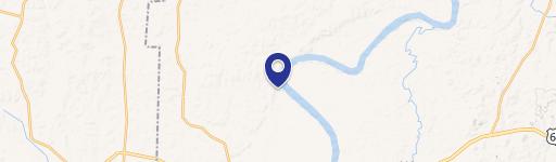
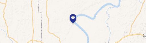
Location Insight
- Map
- Local Demand
- City
- Adamsville
- County
- Hardin
- State
- Tennessee
- Longitude
- -88.3645
- Latitude
- 35.2304
Property Tax & Assessments
Tax date
Tax Amount
Assessed Land Value
Assessed Improvement Value
Total Assessed Value
Applied Tax Rate
Land Market Value
Improvement Market Value
Total Market Value
2023
$7,235
$23,520
$274,840
$298,360
-
$58,800
$687,100
$745,900