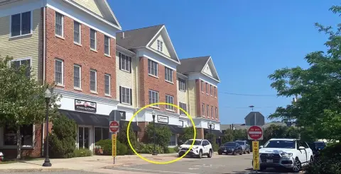
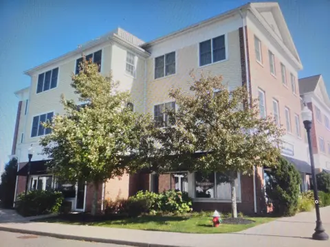
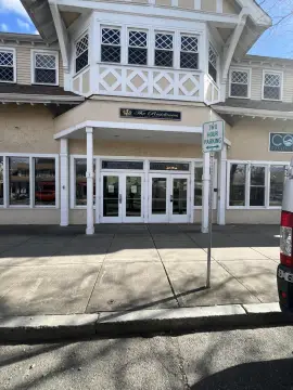
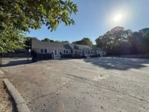
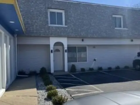
342 Main St Hyannis, MA 02601-3929
Property profile & analytics
342 Main St, Hyannis, MA 02601-3929
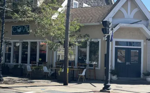
- Retail space
- 10,585 SF
- 0.12 lot acres
Property ID
US38-1094363
The Realmo ID is a unique identifier assigned to every property, incorporating country codes and precise geo-coordinates for 300x300-foot land blocks. It enables standardized data collection and seamless integration of disparate sources such as ownership, tax, title data and physical specifications. By aggregating current and historical records, the Realmo ID powers advanced analytics and delivers deep, verifiable insights for real estate professionals.
Location Intelligence
Current Use by Public Records
- Retail space
Property Details for 342 Main St
- Year built
- 1890
- Construction
- MASONRY/CONCRETE MASONRY UNITS (CMUS)
- Lot size
- 0.12 lot acres
- Property type
- Retail space
- APN
- HYAN M:327 L:006001
- APU
- HYANM327L006001
Sales History
| Date | Price | Buyer | Seller | Deed Type | Mortgage |
|---|---|---|---|---|---|
| Sep 18, 2009 | — | RT Hayman | — | Deed Of Trust · related | $300k · Rockland Trust Co |
| Jul 15, 2009 | — | RT Hayman | — | Deed Of Trust · related | $499k · Rockland Trust Co |
| Jun 21, 1999 | — | RT Hayman | — | Deed Of Trust · related | $788k · Michel G Mangelo |
| Jun 23, 1997 | — | RT Hayman | — | Deed Of Trust · related | $540k · Sandwich Cp Bank |
| Jul 9, 1996 | — | RT Hayman | — | Deed Of Trust · related | $400k · Sandwich Cp Bank |
| Jun 28, 1994 | $285,000 | RT Hayman | Gateway RT | Grant Deed | $190k · Zenon Grzybowski |
| Jan 20, 1993 | — | Joseph P Ferraro | — | Deed Of Trust · related | $150k · Thomas M Sykes |
| Oct 30, 1991 | $225,000 | Joseph P Ferraro | Nantucket Dev Corp | Grant Deed | — |
| Oct 23, 1991 | $525,000 | Nantucket Develop Corp | Shamrock RT | Grant Deed | — |
| Feb 26, 1988 | — | Shamrock RT | — | Deed Of Trust · related | $193k · Bankboston Development Co LLC |
| — | — | Hayman Trust | — | Deed Of Trust · related | $200k · Rockland Tr |
Value Estimations
based on Realmo’s proprietary methodology
-
AI approach
- Method
- Estimation
- Statistic approach
- $1,865,000
- ML approach
- $1,865,000
-
Comparable approach
- Method
- Estimation
- Statistic Estimate
- $1,763,000
Market price range: $1.32M - $3.61M -
Alternative Use
- Use
- Estimation
- RETAIL STORES
- $2,395,000 Current use
- RESTAURANT
- $2,625,000 Change: +9% Conversion: Easy
- COMMERCIAL (GENERAL)
- $2,475,000 Change: +3% Conversion: Easy
- OFFICE BUILDING
- $2,335,000 Change: -3% Conversion: Easy
Get a detailed, property-specific estimation — fast and free
Location Insight
- Map
- Local Demand
- City
- Hyannis
- County
- Barnstable
- State
- Massachusetts
- Longitude
- -70.2827
- Latitude
- 41.6536
- CBSA code
- 12700
- CBSA name
- BARNSTABLE TOWN, MA METROPOLITAN STATISTICAL AREA
Property Tax & Assessments
Tax date
Tax Amount
Assessed Land Value
Assessed Improvement Value
Total Assessed Value
Applied Tax Rate
Land Market Value
Improvement Market Value
Total Market Value
2024
$12,296
$179,100
$1,082,000
$1,261,100
-
$0.00
$0.00
$0.00