33 Paul Rd Rochester, NY 14624
Property profile & analytics
33 Paul Rd, Rochester, NY 14624
- Mobile home & RV parks
- 550 SF
- 2.00 lot acres
Property ID
US63-0074464
The Realmo ID is a unique identifier assigned to every property, incorporating country codes and precise geo-coordinates for 300x300-foot land blocks. It enables standardized data collection and seamless integration of disparate sources such as ownership, tax, title data and physical specifications. By aggregating current and historical records, the Realmo ID powers advanced analytics and delivers deep, verifiable insights for real estate professionals.
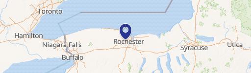
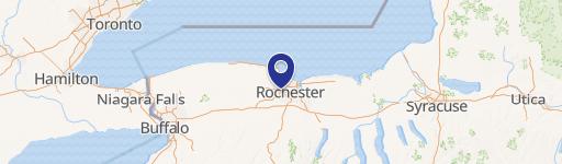
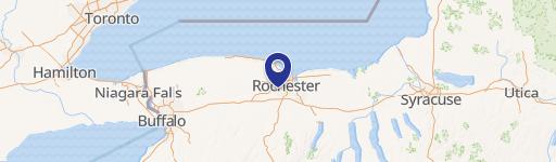
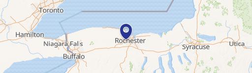
Location Intelligence
Current Use by Public Records
- Mobile home & RV parks
Property Details for 33 Paul Rd
- Year built
- 1962
- Lot size
- 2.00 lot acres
- Zone code
- 05 - COMMERCIAL
- Property type
- Mobile home & RV parks
- APN
- 262200 147.02-1-28
- APU
- 26220014702128
Sales History
| Date | Price | Buyer | Seller | Deed Type | Mortgage |
|---|---|---|---|---|---|
| Apr 15, 2025 | — | Neil Dambra | — | Deed · related | $318k · The Canandaigua National Bank & Trust Co |
| — | — | Neil Dambra | — | Deed Of Trust · related | $57k · Ralph R Harper |
| — | — | Neil Dambra | — | Loan Modification · related | $280k · Five Star Bank |
| — | — | Neil Dambra | — | Deed Of Trust · related | $62k · Five Star Bank |
Value Estimations
based on Realmo’s proprietary methodology
-
AI approach
-
CAP approach
-
Comparable approach
-
Alternative Use
Get a detailed, property-specific estimation — fast and free
Location Insight
- Map
- Local Demand
- City
- Rochester
- County
- Monroe
- State
- New York
- Longitude
- -77.6768
- Latitude
- 43.1081
- CBSA code
- 40380
- CBSA name
- ROCHESTER, NY METROPOLITAN STATISTICAL AREA
Property Tax & Assessments
Tax date
Tax Amount
Assessed Land Value
Assessed Improvement Value
Total Assessed Value
Applied Tax Rate
Land Market Value
Improvement Market Value
Total Market Value
0
$0.00
$95,000
$491,500
$586,500
-
$118,746
$614,354
$733,100