325 Main St Dysart, IA 52224-4700
Property profile & analytics
325 Main St, Dysart, IA 52224-4700
- Commercial real estate
- 0.06 lot acres
Property ID
US25-1950868
The Realmo ID is a unique identifier assigned to every property, incorporating country codes and precise geo-coordinates for 300x300-foot land blocks. It enables standardized data collection and seamless integration of disparate sources such as ownership, tax, title data and physical specifications. By aggregating current and historical records, the Realmo ID powers advanced analytics and delivers deep, verifiable insights for real estate professionals.
Location Intelligence
Current Use by Public Records
- Harper's Public House / Restaurant
Property Details for 325 Main St
- Lot size
- 0.06 lot acres
- Property type
- Commercial real estate
- APN
- 08.13.408.039
- APU
- 813408039
Sales History
| Date | Price | Buyer | Seller | Deed Type | Mortgage |
|---|---|---|---|---|---|
| Mar 22, 2021 | $29,000 | Jenna Scott | Pete Youngblut | Warranty Deed | $12k · Northeast Security Bank |
| Mar 22, 2021 | — | Jenna S Scott | — | Deed · related | $12k · Northeast Security Bank |
| Feb 13, 2017 | $30,000 | Pete Youngblut | Donald J Zeien | Warranty Deed | — |
| Mar 17, 2006 | $17,500 | Donald J Zeien | Dysart Development Corp | Warranty Deed | — |
Value Estimations
based on Realmo’s proprietary methodology
-
AI approach
-
CAP approach
-
Comparable approach
-
Alternative Use
Get a detailed, property-specific estimation — fast and free
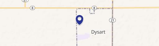
Location Insight
- Map
- Local Demand
- City
- Dysart
- County
- Tama
- State
- Iowa
- Longitude
- -92.3067
- Latitude
- 42.171
Property Tax & Assessments
Tax date
Tax Amount
Assessed Land Value
Assessed Improvement Value
Total Assessed Value
Applied Tax Rate
Land Market Value
Improvement Market Value
Total Market Value
2022
$0.00
$3,060
$32,140
$35,200
-
$3,060
$32,140
$35,200