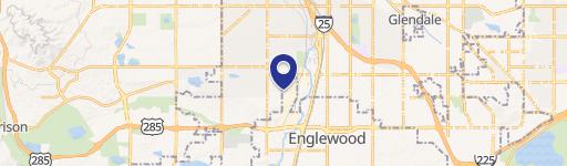
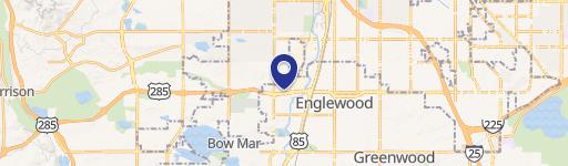
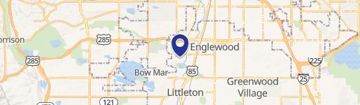
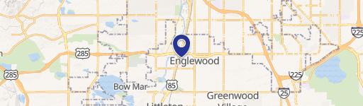
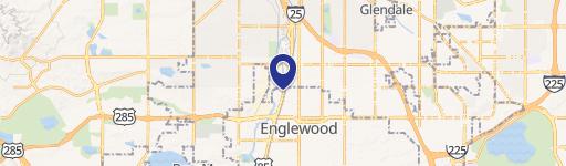
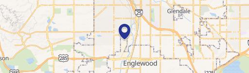
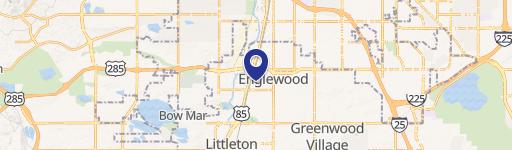
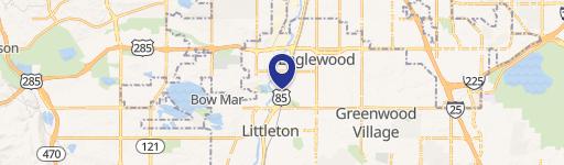
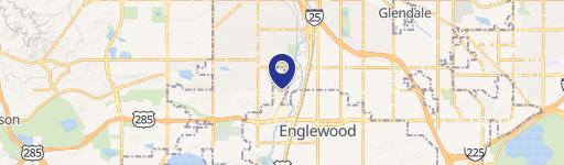
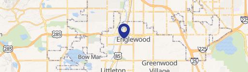
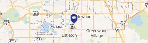
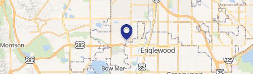
3201 Platte Riv Dr Englewood, CO 80110-2139
Property profile & analytics
3201 Platte Riv Dr, Englewood, CO 80110-2139
- Warehouses
- 205,534 SF
- 10.12 lot acres
Property ID
US13-2463262
The Realmo ID is a unique identifier assigned to every property, incorporating country codes and precise geo-coordinates for 300x300-foot land blocks. It enables standardized data collection and seamless integration of disparate sources such as ownership, tax, title data and physical specifications. By aggregating current and historical records, the Realmo ID powers advanced analytics and delivers deep, verifiable insights for real estate professionals.
Location Intelligence
Current Use by Public Records
- Warehouses
Property Details for 3201 Platte Riv Dr
- Year built
- 1975
- Construction
- MASONRY/CONCRETE MASONRY UNITS (CMUS)
- Lot size
- 10.12 lot acres
- Property type
- Warehouses
- APN
- 1971-33-3-18-001
- APU
- 197133318001
Sales History
| Date | Price | Buyer | Seller | Deed Type | Mortgage |
|---|---|---|---|---|---|
| Mar 14, 2018 | — | Breit Indl Cyn Co1m05-m07 LLC | — | Grant Deed · related | $1,100M · Miscellaneous Ins Co |
| Jan 11, 2016 | $53,225,000 | Cabot IV-co1m05-m07 LLC | Realty Associates Fund Viii LP | Grant Deed | — |
| Nov 2, 2012 | — | Realty Associates Fund Viii LP | — | Deed Of Trust · related | $585M · Wells Fargo Bank |
| Jul 1, 2008 | $39,300,000 | Realty Associates Fund Viii | First Industrial | Grant Deed | — |
Value Estimations
based on Realmo’s proprietary methodology
-
Comparable approach
- Method
- Estimation
- Statistic Estimate
- $31,925,000
- AI Estimate
- $29,649,000
Market price range: $31.5M - $64.3MMarket price range: $28.8M - $58.3M -
Alternative Use
- Use
- Estimation
- WAREHOUSE, STORAGE
- $43,410,000 Current use
Get a detailed, property-specific estimation — fast and free
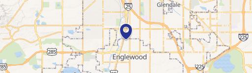
Location Insight
- Map
- Local Demand
- City
- Englewood
- County
- Arapahoe
- State
- Colorado
- Longitude
- -105.007
- Latitude
- 39.6573
- CBSA code
- 19740
- CBSA name
- DENVER-AURORA, CO METROPOLITAN STATISTICAL AREA
Property Tax & Assessments
Tax date
Tax Amount
Assessed Land Value
Assessed Improvement Value
Total Assessed Value
Applied Tax Rate
Land Market Value
Improvement Market Value
Total Market Value
2023
$329,946
$0.00
$0.00
$6,085,827
-
$7,495,538
$14,317,462
$21,813,000