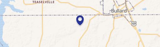
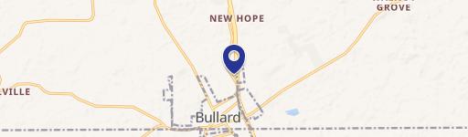
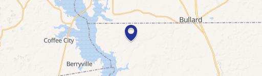
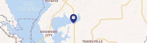
320 Doctor M Roper N Pkwy Bullard, TX 75757-5321
Property Lookup
Property profile & analytics
320 Doctor M Roper N Pkwy Bullard, TX 75757-5321
- Commercial real estate
- 1,209 SF
- 0.77 lot acres
Property ID
US82-5608333
The Realmo ID is a unique identifier assigned to every property, incorporating country codes and precise geo-coordinates for 300x300-foot land blocks. It enables standardized data collection and seamless integration of disparate sources such as ownership, tax, title data and physical specifications. By aggregating current and historical records, the Realmo ID powers advanced analytics and delivers deep, verifiable insights for real estate professionals.
Location Intelligence
Current Use by Public Records
- Commercial real estate
Property Details for 320 Doctor M Roper N Pkwy
- Year built
- 1960
- Lot size
- 0.77 lot acres
- Property size
- 1,209 SF
- Property type
- Commercial real estate
- APN
- 1-81040-0009-00-040000
- APU
- 181040000900040000
Description
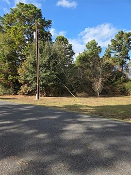
This exceptional commercial pad site in Bullard, Texas, presents a prime investment opportunity. Strategically located at the corner of Highway 69 and Rollingwood Drive, this 0.72-acre lot boasts 135 feet of frontage on Highway 69 and 193 feet on Rollingwood Drive, ensuring unparalleled visibility and accessibility. According to 2023 TXDOT data, the site benefits from a high daily traffic count of 23,000 vehicles, making it ideal for businesses that thrive on high visibility and customer traffic. The property is flat, graded, and cleared, and is equipped with essential utilities, eliminating the need for extensive site preparation and allowing for immediate development. Its location less than eight miles from Tyler, Texas, provides convenient access to a larger population center and offers strategic connectivity to a growing community. The versatile nature of this site allows for a wide range of potential uses, including retail establishments, restaurants, professional services, automotive services, or even a mixed-use development. This is a rare opportunity to acquire a highly visible, readily-developable commercial property in a thriving area. The asking price is $249,500.
Value Estimations
based on Realmo’s proprietary methodology
-
AI approach
-
CAP approach
-
Comparable approach
-
Alternative Use
Get a detailed, property-specific estimation — fast and free
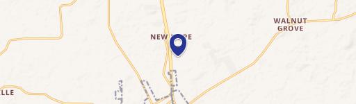
Location Insight
- Map
- Local Demand
- City
- Bullard
- County
- Smith
- State
- Texas
- Longitude
- -95.3134
- Latitude
- 32.1483
- CBSA code
- 46340
- CBSA name
- TYLER, TX METROPOLITAN STATISTICAL AREA
Property Tax & Assessments
Tax date
Tax Amount
Assessed Land Value
Assessed Improvement Value
Total Assessed Value
Applied Tax Rate
Land Market Value
Improvement Market Value
Total Market Value
2023
$3,515
$150,350
$7,500
$157,850
-
$150,350
$7,500
$157,850