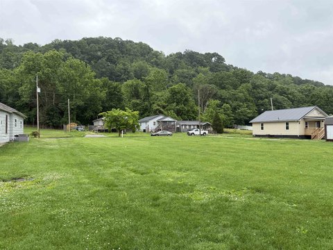
319 Chestnut St Ironton, OH 45638
Property profile & analytics
319 Chestnut St, Ironton, OH 45638
- Commercial land
- 0.13 lot acres
Property ID
US66-0982560
The Realmo ID is a unique identifier assigned to every property, incorporating country codes and precise geo-coordinates for 300x300-foot land blocks. It enables standardized data collection and seamless integration of disparate sources such as ownership, tax, title data and physical specifications. By aggregating current and historical records, the Realmo ID powers advanced analytics and delivers deep, verifiable insights for real estate professionals.
Location Intelligence
Current Use by Public Records
- Commercial land
Property Details for 319 Chestnut St
- Lot size
- 0.13 lot acres
- Property type
- Commercial land
- APN
- 35-020-1400.000
- APU
- 350201400000
Sales History
| Date | Price | Buyer | Seller | Deed Type | Mortgage |
|---|---|---|---|---|---|
| Mar 28, 2018 | — | Rosemount Realty LLC | — | Loan Modification · related | $10M · Huntington Nat'l Bk/wv |
| Oct 6, 2017 | — | Rosemount Realty LLC | — | Grant Deed · related | $85M · Huntington Nat'l Bk |
| Sep 3, 2015 | $1,750,100 | Rosemount Realty LLC | Rac II Ltd | Warranty Deed · related | — |
| Mar 25, 2010 | $450,000 | Franke Hal L Tr | Higgins Chevrolet Co INC | Warranty Deed | — |
Value Estimations
based on Realmo’s proprietary methodology
-
AI approach
-
CAP approach
-
Comparable approach
-
Alternative Use
Get a detailed, property-specific estimation — fast and free
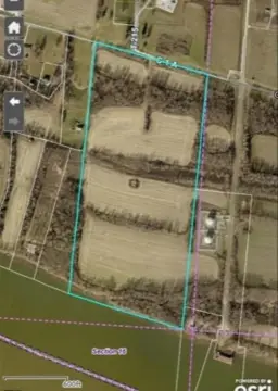
Location Insight
- Map
- Local Demand
- City
- Ironton
- County
- Lawrence
- State
- Ohio
- Longitude
- -82.6794
- Latitude
- 38.5288
- CBSA code
- 26580
- CBSA name
- HUNTINGTON-ASHLAND, WV-KY-OH METROPOLITAN STATISTICAL AREA
Property Tax & Assessments
Tax date
Tax Amount
Assessed Land Value
Assessed Improvement Value
Total Assessed Value
Applied Tax Rate
Land Market Value
Improvement Market Value
Total Market Value
2023
$412
$6,830
$3,570
$10,400
-
$19,500
$10,200
$29,700