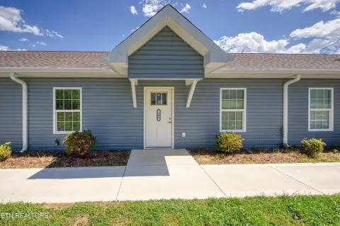
312 Frank L Diggs Dr Clinton, TN 37716-6956
Property profile & analytics
312 Frank L Diggs Dr, Clinton, TN 37716-6956
- Manufacturing properties
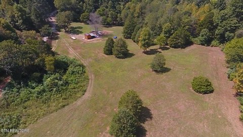
- 162,032 SF
- 6.75 lot acres
Property ID
US80-1142348
The Realmo ID is a unique identifier assigned to every property, incorporating country codes and precise geo-coordinates for 300x300-foot land blocks. It enables standardized data collection and seamless integration of disparate sources such as ownership, tax, title data and physical specifications. By aggregating current and historical records, the Realmo ID powers advanced analytics and delivers deep, verifiable insights for real estate professionals.
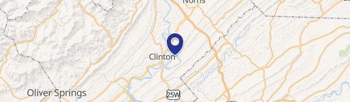
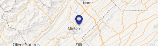
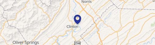
Location Intelligence
Current Use by Public Records
- SL America Corp. / Auto Parts Store / (Bike/Boat/Book/etc) Store
Property Details for 312 Frank L Diggs Dr
- Year built
- 2000
- Construction
- FRAME
- Lot size
- 6.75 lot acres
- Property type
- Manufacturing properties
- APN
- 001055 03701
- APU
- 105503701
Sales History
| Date | Price | Buyer | Seller | Deed Type | Mortgage |
|---|---|---|---|---|---|
| Oct 28, 2005 | — | Samlip Tennessee LLC | City Of Clinton | Quit Claim Deed | — |
| Oct 6, 2003 | — | Samlip Tennessee LLC | Samlip America I | Quit Claim Deed · related | — |
| Oct 4, 2002 | $1,525,000 | Samlip America INC | Prime,resource L | Grant Deed | — |
Value Estimations
based on Realmo’s proprietary methodology
-
Comparable approach
- Method
- Estimation
- Statistic Estimate
- $9,533,000
Market price range: $9.53M - $17.4M
Get a detailed, property-specific estimation — fast and free
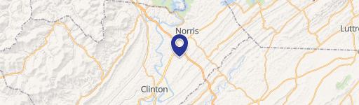
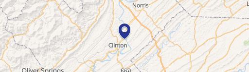
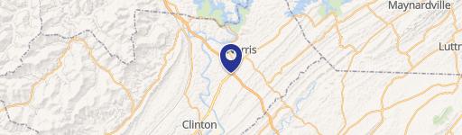
Location Insight
- Map
- Local Demand
- City
- Clinton
- County
- Anderson
- State
- Tennessee
- Longitude
- -84.0824
- Latitude
- 36.151
- CBSA code
- 28940
- CBSA name
- KNOXVILLE, TN METROPOLITAN STATISTICAL AREA
Property Tax & Assessments
Tax date
Tax Amount
Assessed Land Value
Assessed Improvement Value
Total Assessed Value
Applied Tax Rate
Land Market Value
Improvement Market Value
Total Market Value
0
$0.00
$51,640
$1,218,400
$1,270,040
-
$129,100
$3,046,000
$3,175,100