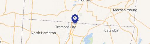
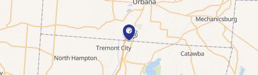
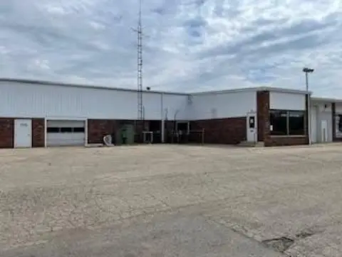
2834 Hustead Rd Springfield, OH 45502-7909
Property profile & analytics
2834 Hustead Rd, Springfield, OH 45502-7909
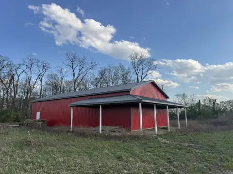
- Flex space
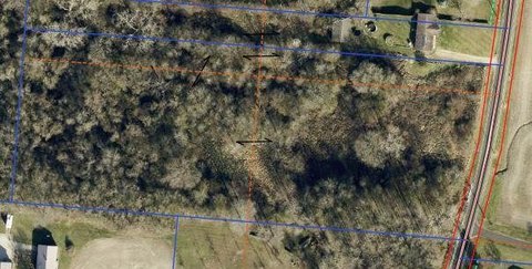
- 34,954 SF
- 6.44 lot acres
Property ID
US66-2578690
The Realmo ID is a unique identifier assigned to every property, incorporating country codes and precise geo-coordinates for 300x300-foot land blocks. It enables standardized data collection and seamless integration of disparate sources such as ownership, tax, title data and physical specifications. By aggregating current and historical records, the Realmo ID powers advanced analytics and delivers deep, verifiable insights for real estate professionals.
Location Intelligence
Current Use by Public Records
- Ted Bolle Millwork Inc / Industrial Manufacturer
Property Details for 2834 Hustead Rd
- Year built
- 1960
- Construction
- CONCRETE BLOCKS
- Lot size
- 6.44 lot acres
- Zone code
- I-1
- Property type
- Flex space
- APN
- 180-11-00017-000-020
- APU
- 1801100017000020
Sales History
| Date | Price | Buyer | Seller | Deed Type | Mortgage |
|---|---|---|---|---|---|
| Nov 2, 2017 | — | Ted Bolle Millwork INC | — | Deed · related | $75k · Security National Bank |
Value Estimations
based on Realmo’s proprietary methodology
-
AI approach
- Method
- Estimation
- ML approach
- $435,000
-
Comparable approach
- Method
- Estimation
- Statistic Estimate
- $857,000
- AI Estimate
- $579,000
Market price range: $479k - $1.98MMarket price range: $297k - $1.38M
Get a detailed, property-specific estimation — fast and free
Location Insight
- Map
- Local Demand
- City
- Springfield
- County
- Clark
- State
- Ohio
- Longitude
- -83.8694
- Latitude
- 39.8418
- CBSA code
- 44220
- CBSA name
- SPRINGFIELD, OH METROPOLITAN STATISTICAL AREA
Property Tax & Assessments
Tax date
Tax Amount
Assessed Land Value
Assessed Improvement Value
Total Assessed Value
Applied Tax Rate
Land Market Value
Improvement Market Value
Total Market Value
2023
$14,328
$53,730
$168,710
$222,440
-
$153,500
$482,040
$635,540