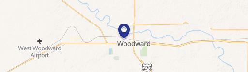
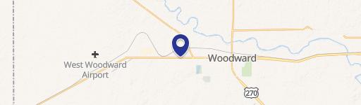
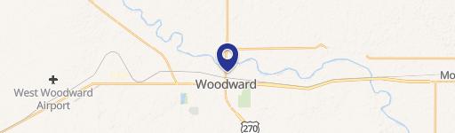
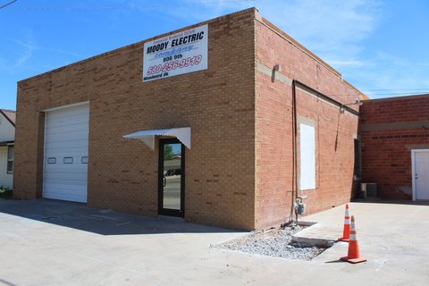
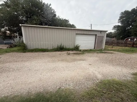
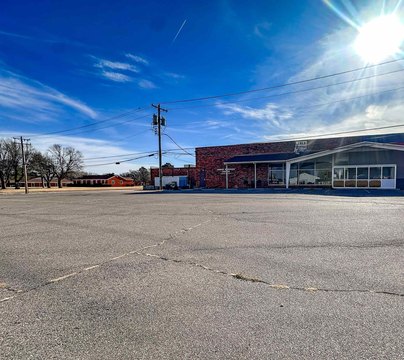
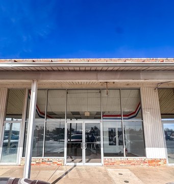
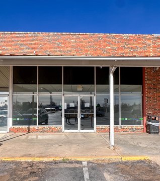
270 Hwy 270 Woodward, OK 73801
Property profile & analytics
270 Hwy 270, Woodward, OK 73801
- Warehouses
- 2,192 SF
- 2.00 lot acres
Property ID
US69-1342965
The Realmo ID is a unique identifier assigned to every property, incorporating country codes and precise geo-coordinates for 300x300-foot land blocks. It enables standardized data collection and seamless integration of disparate sources such as ownership, tax, title data and physical specifications. By aggregating current and historical records, the Realmo ID powers advanced analytics and delivers deep, verifiable insights for real estate professionals.
Location Intelligence
Current Use by Public Records
- Warehouses
Property Details for 270 Hwy 270
- Year built
- 1959
- Lot size
- 2.00 lot acres
- Property type
- Warehouses
- APN
- 0410-27-23N-21W-2-205-00
- APU
- 04102723N21W220500
Sales History
| Date | Price | Buyer | Seller | Deed Type | Mortgage |
|---|---|---|---|---|---|
| Jan 6, 2023 | $200,000 | Roy Karl Williams | Shelton Welltools INC | Warranty Deed | $194k · The Stock Exchange Bank |
| Jun 19, 2015 | $200,000 | Jaime G Cornejo | D W Woodruff | Correction Deed · related | — |
| Jun 19, 2015 | — | Jaime G Cornejo | D W Woodruff | Correction Deed · related | — |
Value Estimations
based on Realmo’s proprietary methodology
-
AI approach
-
CAP approach
-
Comparable approach
-
Alternative Use
Get a detailed, property-specific estimation — fast and free
Location Insight
- Map
- Local Demand
- City
- Woodward
- County
- Woodward
- State
- Oklahoma
- Longitude
- -99.434
- Latitude
- 36.4423
- CBSA code
- 49260
- CBSA name
- WOODWARD, OK MICROPOLITAN STATISTICAL AREA
Property Tax & Assessments
Tax date
Tax Amount
Assessed Land Value
Assessed Improvement Value
Total Assessed Value
Applied Tax Rate
Land Market Value
Improvement Market Value
Total Market Value
2023
$388
$2,310
$1,947
$4,257
-
$21,000
$17,702
$38,702