Property profile & analytics
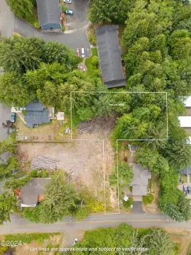
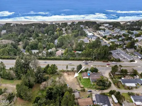
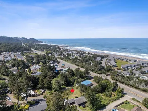
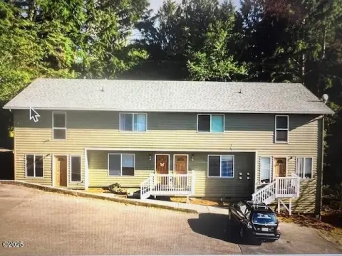
270 Coast Guard Dr Depoe Bay, OR 97341-1922
- Commercial real estate
- 3,222 SF
- 0.09 lot acres
OFF-MARKET
Value Estimations
$1,005,000
Show details
Cap Rate Potential
Location Intelligence
Property ID
US71-1125480
The Realmo ID is a unique identifier assigned to every property, incorporating country codes and precise geo-coordinates for 300x300-foot land blocks. It enables standardized data collection and seamless integration of disparate sources such as ownership, tax, title data and physical specifications. By aggregating current and historical records, the Realmo ID powers advanced analytics and delivers deep, verifiable insights for real estate professionals.
Current Use by Public Records
- Dockside Charters and Whale Watching Tours / Tour Operator / Travel Agency
Property Details for 270 Coast Guard Dr
- Year built
- 1800
- Lot size
- 0.09 lot acres
- Property size
- 3,222 SF
- Zone code
- C-1;COMMERCIAL
- Property type
- Commercial real estate
- APN
- 09-11-08-AB-01201-00
- APU
- 091108AB0120100
Value Estimations
based on Realmo’s proprietary methodology
-
Comparable approach
- Method
- Estimation
- Statistic Estimate
- $993,000
- AI Estimate
- $1,019,000
Market price range: $708k - $1.39MMarket price range: $708k - $1.42M
Get a detailed, property-specific valuation — fast and free
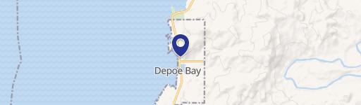
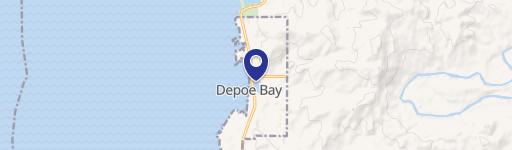
Location Insight
- Map
- Local Demand
- City
- Depoe Bay
- County
- Lincoln
- State
- Oregon
- Longitude
- -124.059
- Latitude
- 44.8092
- CBSA code
- 35440
- CBSA name
- NEWPORT, OR MICROPOLITAN STATISTICAL AREA
Property Tax & Assessments
Tax date
Tax Amount
Assessed Land Value
Assessed Improvement Value
Total Assessed Value
Applied Tax Rate
Land Market Value
Improvement Market Value
Total Market Value
2023
$0.00
$0.00
$0.00
$0.00
-
$8,820
$15,930
$24,750