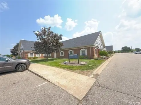
2500 Linden Rd Flint, MI 48532-7074
Property profile & analytics
2500 Linden Rd Flint, MI 48532-7074
- Commercial real estate
- 23,190 SF
- 3.72 lot acres
Property ID
US43-1422668
The Realmo ID is a unique identifier assigned to every property, incorporating country codes and precise geo-coordinates for 300x300-foot land blocks. It enables standardized data collection and seamless integration of disparate sources such as ownership, tax, title data and physical specifications. By aggregating current and historical records, the Realmo ID powers advanced analytics and delivers deep, verifiable insights for real estate professionals.
Location Intelligence
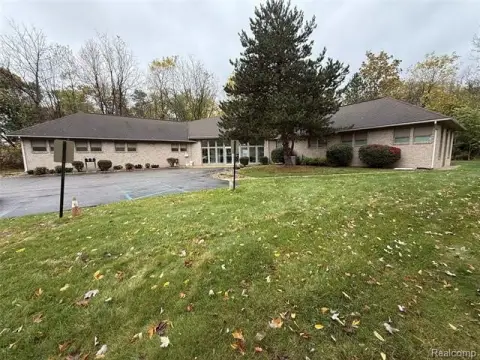
Current Use by Public Records
- United States Postal Service / Shipping And Mailing Service / Post Office
- Miel, LLC InfoSec / IT Consulting Firm / Tech Support Center
Property Details for 2500 Linden Rd
- Year built
- 2001
- Lot size
- 3.72 lot acres
- Property size
- 23,190 SF
- Property type
- Commercial real estate
- APN
- 07-20-400-017
- APU
- 720400017
Value Estimations
based on Realmo’s proprietary methodology
-
Comparable approach
- Method
- Estimation
- Statistic Estimate
- $1,434,000
- AI Estimate
- $1,434,000
Market price range: $708k - $2.31MMarket price range: $708k - $2.31M
Get a detailed, property-specific estimation — fast and free
Location Insight
- Map
- Local Demand
- City
- Flint
- County
- Genesee
- State
- Michigan
- Longitude
- -83.7731
- Latitude
- 42.988
- CBSA code
- 22420
- CBSA name
- FLINT, MI METROPOLITAN STATISTICAL AREA
Property Tax & Assessments
Tax date
Tax Amount
Assessed Land Value
Assessed Improvement Value
Total Assessed Value
Applied Tax Rate
Land Market Value
Improvement Market Value
Total Market Value
2022
$0.00
$0.00
$0.00
$0.00
-
$0.00
$0.00
$0.00