248 Branford Rd North Branford, CT 06471-1303
Property profile & analytics
248 Branford Rd, North Branford, CT 06471-1303
- Industrial properties
- 33,200 SF
- 2.24 lot acres
Property ID
US15-0659596
The Realmo ID is a unique identifier assigned to every property, incorporating country codes and precise geo-coordinates for 300x300-foot land blocks. It enables standardized data collection and seamless integration of disparate sources such as ownership, tax, title data and physical specifications. By aggregating current and historical records, the Realmo ID powers advanced analytics and delivers deep, verifiable insights for real estate professionals.
Location Intelligence
Current Use by Public Records
- National Graphics Inc / Marketing & Advertising / Printing Service
Property Details for 248 Branford Rd
- Year built
- 1980
- Construction
- STEEL FRAME
- Lot size
- 2.24 lot acres
- Property type
- Industrial properties
- APN
- NBRA M:19-C B:12-3
- APU
- NBRAM19CB123
Sales History
| Date | Price | Buyer | Seller | Deed Type | Mortgage |
|---|---|---|---|---|---|
| Dec 3, 2001 | $170,000 | Steven F Dadamo | Nalletto,lucie M | Warranty Deed | $153k · Bank Of America |
Value Estimations
based on Realmo’s proprietary methodology
-
Comparable approach
- Method
- Estimation
- Statistic Estimate
- $1,439,000
Market price range: $1.44M - $3.43M -
Alternative Use
- Use
- Estimation
- INDUSTRIAL (GENERAL)
- $2,350,000 Current use
- WAREHOUSE, STORAGE
- $1,955,000 Change: -17% Conversion: Easy
Get a detailed, property-specific estimation — fast and free
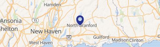
Location Insight
- Map
- Local Demand
- City
- North Branford
- County
- New Haven
- State
- Connecticut
- Longitude
- -72.7719
- Latitude
- 41.3223
- CBSA code
- 35300
- CBSA name
- NEW HAVEN-MILFORD, CT METROPOLITAN STATISTICAL AREA
Property Tax & Assessments
Tax date
Tax Amount
Assessed Land Value
Assessed Improvement Value
Total Assessed Value
Applied Tax Rate
Land Market Value
Improvement Market Value
Total Market Value
2023
$27,426
$220,100
$574,400
$794,500
-
$0.00
$0.00
$0.00