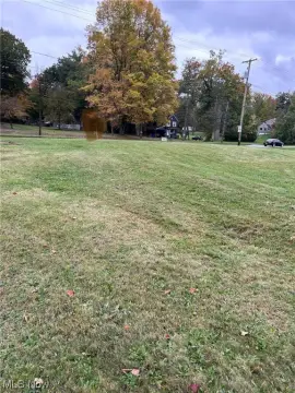
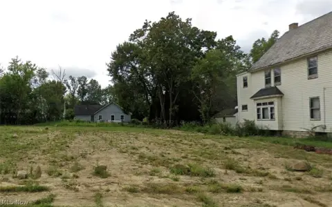
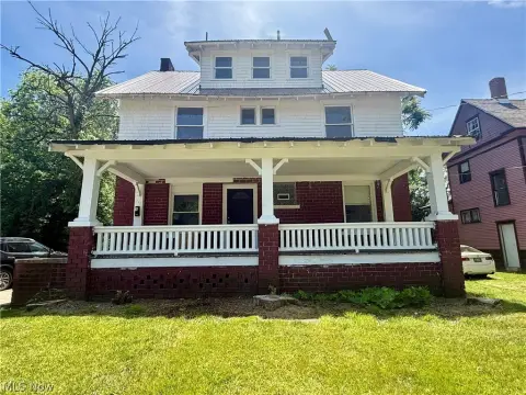
2401 Glenwood Ave Youngstown, OH 44511-1710
Property profile & analytics
2401 Glenwood Ave, Youngstown, OH 44511-1710
- Commercial land
- 0.09 lot acres
Property ID
US66-2607582
The Realmo ID is a unique identifier assigned to every property, incorporating country codes and precise geo-coordinates for 300x300-foot land blocks. It enables standardized data collection and seamless integration of disparate sources such as ownership, tax, title data and physical specifications. By aggregating current and historical records, the Realmo ID powers advanced analytics and delivers deep, verifiable insights for real estate professionals.
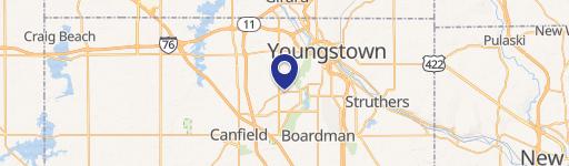
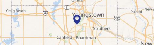
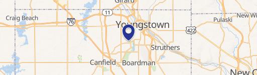
Location Intelligence
Current Use by Public Records
- Commercial land
Property Details for 2401 Glenwood Ave
- Lot size
- 0.09 lot acres
- Property type
- Commercial land
- APN
- 53-131-0-237.00-0
- APU
- 531310237000
Sales History
| Date | Price | Buyer | Seller | Deed Type | Mortgage |
|---|---|---|---|---|---|
| Feb 15, 2022 | $243 | Youngstown Neighborhood Dev Corpota | Land Reutilization Program | Quit Claim Deed · related | — |
| Mar 19, 2019 | $2,780 | City Of Youngstown Land Reutilizati | James G Hagelis | Sheriffs Deed · related | — |
| Jul 31, 2014 | — | Mahoning County Land Reutilization | Mary A Young | Legal Action/court Order · related | — |
Value Estimations
based on Realmo’s proprietary methodology
-
AI approach
-
CAP approach
-
Comparable approach
-
Alternative Use
Get a detailed, property-specific estimation — fast and free
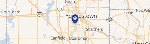
Location Insight
- Map
- Local Demand
- City
- Youngstown
- County
- Mahoning
- State
- Ohio
- Longitude
- -80.6751
- Latitude
- 41.0759
- CBSA code
- 49660
- CBSA name
- YOUNGSTOWN-WARREN-BOARDMAN, OH-PA METROPOLITAN STATISTICAL AREA
Property Tax & Assessments
Tax date
Tax Amount
Assessed Land Value
Assessed Improvement Value
Total Assessed Value
Applied Tax Rate
Land Market Value
Improvement Market Value
Total Market Value
2023
$30
$420
$0.00
$420
-
$1,200
$0.00
$1,200