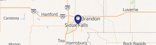
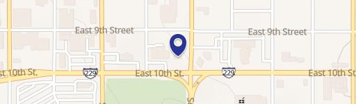
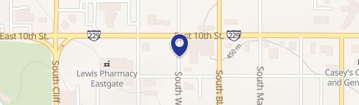
2200 10th St Sioux Falls, SD 57103-1913
Property profile & analytics
2200 10th St, Sioux Falls, SD 57103-1913
- Grocery and convenience stores
- 1,288 SF
- 0.25 lot acres
Property ID
US79-0048324
The Realmo ID is a unique identifier assigned to every property, incorporating country codes and precise geo-coordinates for 300x300-foot land blocks. It enables standardized data collection and seamless integration of disparate sources such as ownership, tax, title data and physical specifications. By aggregating current and historical records, the Realmo ID powers advanced analytics and delivers deep, verifiable insights for real estate professionals.
Location Intelligence
Current Use by Public Records
- LOCAL / Gas Station
- ATM (Gas Stop) / Atm
- Gas Stop / Gas Station
Property Details for 2200 10th St
- Year built
- 1951
- Construction
- TYPE NOT SPECIFIED
- Lot size
- 0.25 lot acres
- Property type
- Grocery and convenience stores
- APN
- 53742
- APU
- 53742
Sales History
| Date | Price | Buyer | Seller | Deed Type | Mortgage |
|---|---|---|---|---|---|
| Feb 11, 2014 | $275,000 | D & J Station INC | Not Provided | Warranty Deed | — |
Value Estimations
based on Realmo’s proprietary methodology
-
AI approach
-
CAP approach
-
Comparable approach
-
Alternative Use
Get a detailed, property-specific estimation — fast and free
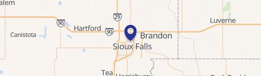
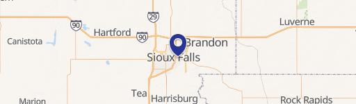
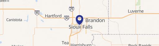
Location Insight
- Map
- Local Demand
- City
- Sioux Falls
- County
- Minnehaha
- State
- South Dakota
- Longitude
- -96.6986
- Latitude
- 43.547
- CBSA code
- 43620
- CBSA name
- SIOUX FALLS, SD METROPOLITAN STATISTICAL AREA
Property Tax & Assessments
Tax date
Tax Amount
Assessed Land Value
Assessed Improvement Value
Total Assessed Value
Applied Tax Rate
Land Market Value
Improvement Market Value
Total Market Value
2022
$5,139
$93,500
$173,400
$266,900
-
$0.00
$0.00
$0.00