22 Westerdale Rd Woodstock, VT 05091-3916
Property profile & analytics
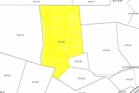
22 Westerdale Rd, Woodstock, VT 05091-3916
- Commercial real estate
- 2,000 SF
- 1.20 lot acres
Property ID
US89-0214098
The Realmo ID is a unique identifier assigned to every property, incorporating country codes and precise geo-coordinates for 300x300-foot land blocks. It enables standardized data collection and seamless integration of disparate sources such as ownership, tax, title data and physical specifications. By aggregating current and historical records, the Realmo ID powers advanced analytics and delivers deep, verifiable insights for real estate professionals.
Location Intelligence
Current Use by Public Records
- Dead River Company / Propane Supplier / Heating Oil Supplier
Property Details for 22 Westerdale Rd
- Year built
- 1976
- Lot size
- 1.20 lot acres
- Property type
- Commercial real estate
- APN
- (250) 32.01.28
- APU
- 250320128
Sales History
| Date | Price | Buyer | Seller | Deed Type | Mortgage |
|---|---|---|---|---|---|
| Sep 4, 2019 | $225,000 | Stone Road Energy LLC | Holmes,gordon H | Grant Deed | — |
Value Estimations
based on Realmo’s proprietary methodology
-
AI approach
-
CAP approach
-
Comparable approach
-
Alternative Use
Get a detailed, property-specific estimation — fast and free
Location Insight
- Map
- Local Demand
- City
- Woodstock
- County
- Windsor
- State
- Vermont
- Longitude
- -72.5658
- Latitude
- 43.6019
- CBSA code
- 30100
- CBSA name
- LEBANON, NH-VT MICROPOLITAN STATISTICAL AREA
Property Tax & Assessments
Tax date
Tax Amount
Assessed Land Value
Assessed Improvement Value
Total Assessed Value
Applied Tax Rate
Land Market Value
Improvement Market Value
Total Market Value
2022
$6,963
$135,000
$147,100
$282,100
-
$0.00
$0.00
$0.00