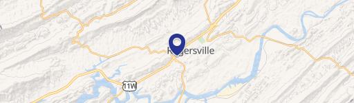
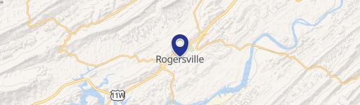
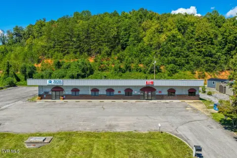
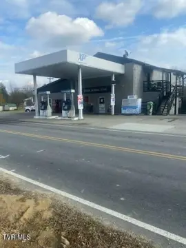
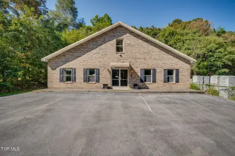
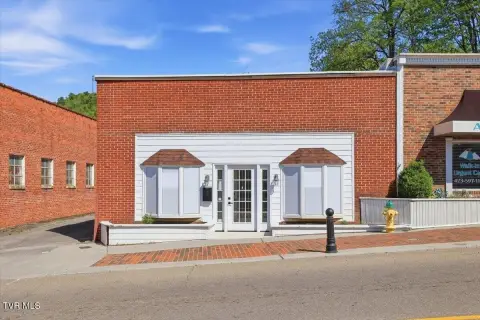
219 Hwy 346 Rogersville, TN 37857-6081
Property profile & analytics
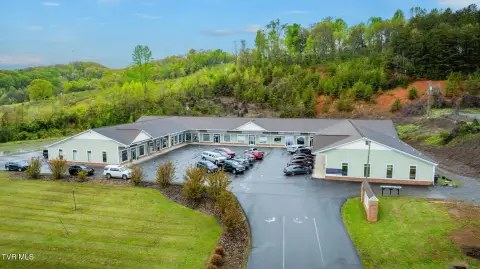
219 Hwy 346, Rogersville, TN 37857-6081
- Retail space
- 3,746 SF
- 0.62 lot acres
Property ID
US80-0299266
The Realmo ID is a unique identifier assigned to every property, incorporating country codes and precise geo-coordinates for 300x300-foot land blocks. It enables standardized data collection and seamless integration of disparate sources such as ownership, tax, title data and physical specifications. By aggregating current and historical records, the Realmo ID powers advanced analytics and delivers deep, verifiable insights for real estate professionals.
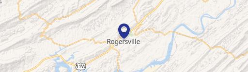
Location Intelligence
Current Use by Public Records
- Retail space
Property Details for 219 Hwy 346
- Year built
- 1945
- Lot size
- 0.62 lot acres
- Property type
- Retail space
- APN
- 037065 11500
- APU
- 3706511500
Sales History
| Date | Price | Buyer | Seller | Deed Type | Mortgage |
|---|---|---|---|---|---|
| Jun 13, 2025 | $72,500 | Nikolaus Krohn | Jason Wolfe | Warranty Deed | — |
| Jun 21, 2001 | $41,000 | Charles Lawson | Brown,michael | Grant Deed | — |
| Jun 1, 2001 | $52,000 | Jamie Forbis | Bron,michael | Grant Deed | — |
| Feb 17, 1994 | — | Billy J Stapleton | — | Deed Of Trust · related | — |
Value Estimations
based on Realmo’s proprietary methodology
-
AI approach
-
CAP approach
-
Comparable approach
-
Alternative Use
Get a detailed, property-specific estimation — fast and free
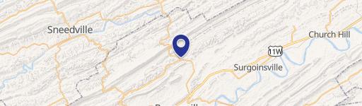
Location Insight
- Map
- Local Demand
- City
- Rogersville
- County
- Hawkins
- State
- Tennessee
- Longitude
- -82.9035
- Latitude
- 36.4643
- CBSA code
- 28700
- CBSA name
- KINGSPORT-BRISTOL-BRISTOL, TN-VA METROPOLITAN STATISTICAL AREA
Property Tax & Assessments
Tax date
Tax Amount
Assessed Land Value
Assessed Improvement Value
Total Assessed Value
Applied Tax Rate
Land Market Value
Improvement Market Value
Total Market Value
0
$0.00
$20,960
$21,880
$42,840
-
$52,400
$54,700
$107,100