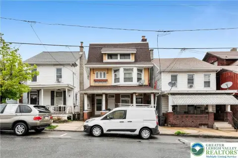
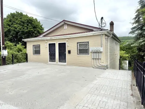
212 Rdg St Lansford, PA 18232-1122
Property profile & analytics
212 Rdg St, Lansford, PA 18232-1122
- Commercial real estate
- 2,176 SF
- 0.05 lot acres
Property ID
US73-0681993
The Realmo ID is a unique identifier assigned to every property, incorporating country codes and precise geo-coordinates for 300x300-foot land blocks. It enables standardized data collection and seamless integration of disparate sources such as ownership, tax, title data and physical specifications. By aggregating current and historical records, the Realmo ID powers advanced analytics and delivers deep, verifiable insights for real estate professionals.
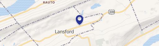
Location Intelligence
Current Use by Public Records
- Commercial real estate
Property Details for 212 Rdg St
- Year built
- 1900
- Lot size
- 0.05 lot acres
- Property type
- Commercial real estate
- APN
- 122A1-25-C16
- APU
- 122A125C16
Sales History
| Date | Price | Buyer | Seller | Deed Type | Mortgage |
|---|---|---|---|---|---|
| Mar 30, 2026 | — | Garbel LLC | — | Deed · related | $180k · Mauch Chunk Trust Company |
| Nov 7, 2024 | $95,000 | Garbel LLC | Iwo Realty LLC | Deed | $120k · Lancaster Realty Capital LP |
| Dec 12, 2022 | $40,000 | Iwo Realty LLC | Joseph J Cerimele | Deed | — |
Value Estimations
based on Realmo’s proprietary methodology
-
AI approach
-
CAP approach
-
Comparable approach
-
Alternative Use
Get a detailed, property-specific estimation — fast and free
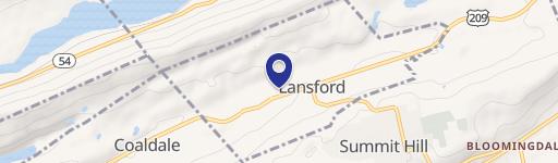
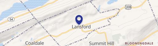
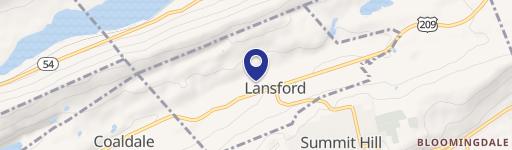
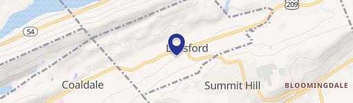
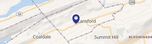
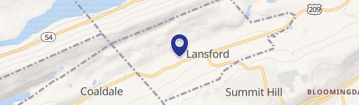
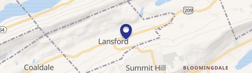
Location Insight
- Map
- Local Demand
- City
- Lansford
- County
- Carbon
- State
- Pennsylvania
- Longitude
- -75.8895
- Latitude
- 40.8305
- CBSA code
- 10900
- CBSA name
- ALLENTOWN-BETHLEHEM-EASTON, PA-NJ METROPOLITAN STATISTICAL AREA
Property Tax & Assessments
Tax date
Tax Amount
Assessed Land Value
Assessed Improvement Value
Total Assessed Value
Applied Tax Rate
Land Market Value
Improvement Market Value
Total Market Value
2024
$2,076
$4,300
$13,850
$18,150
-
$8,600
$27,700
$36,300