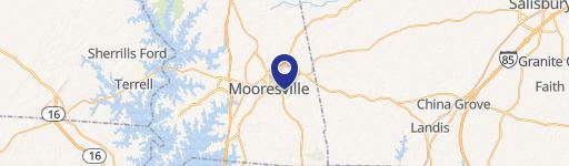
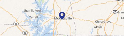
2078 Statesville Hwy Mooresville, NC 28115-9383
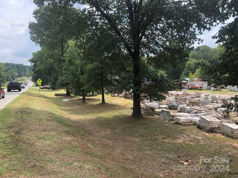
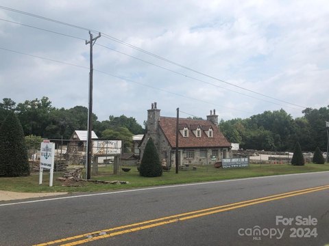
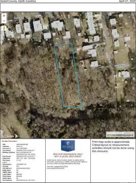
This exceptional 2.53-acre commercial land parcel presents a remarkable investment opportunity in the thriving Mooresville, North Carolina market. Located at 2078 Statesville Highway, zip code 28115, this property boasts a highly desirable GB zoning designation, opening doors to a wide array of commercial development possibilities. The expansive lot size provides ample space for various projects, catering to businesses seeking a prominent presence in this dynamic area. Situated in Iredell County, the property enjoys convenient access to major transportation routes, ensuring excellent connectivity for both employees and customers. Its strategic location within Mooresville offers proximity to a robust local economy and a growing population, making it an ideal site for businesses seeking strong market penetration. The asking price of $325,000 represents a compelling value proposition for investors and developers looking to capitalize on the significant potential of this prime commercial land. Detailed zoning information and development guidelines are readily available upon request. Don't miss this chance to acquire a substantial piece of commercial real estate in a rapidly expanding North Carolina community. The latitude and longitude coordinates are 35.619207, -80.824832 respectively.
Cap rate
Implied · in-place · derived from last sale + estimated NOIValue
AI, CAP & Alternative Use estimations · Realmo proprietary blendProperty tax & assessments
Tax year 2023Comparables
6 recent transactions · within 1.5 miComparable in this City

Similar Nearby for Sale


Similar Nearby for Lease


Property description
Physical attributes from public recordsZoning & alternative use
GB CUD · Mooresville, NCMooresville. Always verify with local authorities before improvements.
Costs & Benchmarks
Operating expenses, capex projections, utility benchmarks, and submarket comparables — all in one view.
Risks
Flood, climate, environmental, title, and tenant-concentration risk — surfaced with mitigations and source citations.


