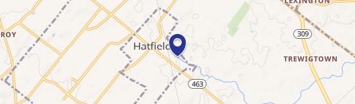
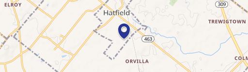
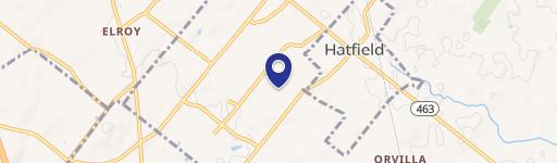
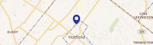
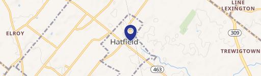
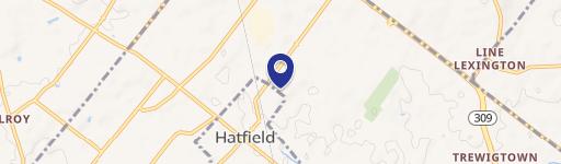
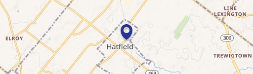
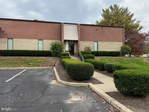
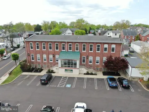
2042 Lenhart Rd Hatfield, PA 19440-2722
Property profile & analytics
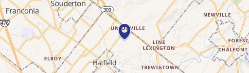
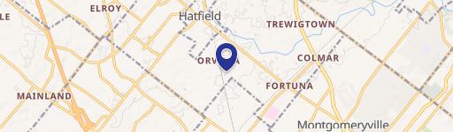
2042 Lenhart Rd, Hatfield, PA 19440-2722
- Apartment buildings
- 14,763 SF
- 1.86 lot acres
Property ID
US73-0080966
The Realmo ID is a unique identifier assigned to every property, incorporating country codes and precise geo-coordinates for 300x300-foot land blocks. It enables standardized data collection and seamless integration of disparate sources such as ownership, tax, title data and physical specifications. By aggregating current and historical records, the Realmo ID powers advanced analytics and delivers deep, verifiable insights for real estate professionals.
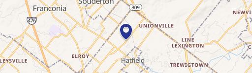
Location Intelligence
Current Use by Public Records
- Sanford James / Church
- Rogahn Gunther / Civil Engineer
Property Details for 2042 Lenhart Rd
- Year built
- 1890
- Lot size
- 1.86 lot acres
- Zone code
- RA1
- Property type
- Apartment buildings
- APN
- 35-00-10828-00-9
- APU
- 350010828009
Sales History
| Date | Price | Buyer | Seller | Deed Type | Mortgage |
|---|---|---|---|---|---|
| Mar 25, 2024 | — | 2042 Lenhart Lawyers LLC | — | Deed · related | $1.5M · Cbre Capital Markets INC |
| May 3, 2017 | — | 2042 Lenhart Lawyers LLC | — | Deed · related | $1.3M · New York Community Bank |
| Oct 18, 2013 | $880,000 | 2042 Lenhart Lawyers LLC | Gunther Rogahn | Deed | $650k · Investors Bank |
| May 1, 2012 | — | Rogahn Gunther & Waltraut J Trust | Rogahn,christina J | Quit Claim Deed · related | — |
| May 19, 2006 | — | Christina J Rogahn | Owner,record | Grant Deed · related | — |
| Jan 23, 2004 | — | Univest Nat Bk & T Co | Rogahn,gunther | Grant Deed · related | — |
| — | — | Gunther Rogahn | — | Deed Of Trust · related | $410k · Suburban Community Bank |
| — | — | Gunther Rogahn | — | Deed Of Trust · related | $500k · Premier Bank |
Value Estimations
based on Realmo’s proprietary methodology
-
Comparable approach
- Method
- Estimation
- Statistic Estimate
- $2,021,000
Market price range: $1.17M - $2.83M -
Alternative Use
- Use
- Estimation
- APARTMENT HOUSE (5+ UNITS)
- $2,050,000 Current use
- OFFICE BUILDING
- $2,415,000 Change: +18% Conversion: Moderate
- MEDICAL BUILDING
- $2,325,000 Change: +13% Conversion: Moderate
- RESTAURANT
- $2,070,000 Change: +1% Conversion: Difficult
- NEIGHBORHOOD: SHOPPING CENTER
- $1,925,000 Change: -6% Conversion: Difficult
- INDUSTRIAL (GENERAL)
- $1,650,000 Change: -20% Conversion: Difficult
Get a detailed, property-specific estimation — fast and free
Location Insight
- Map
- Local Demand
- City
- Hatfield
- County
- Montgomery
- State
- Pennsylvania
- Longitude
- -75.2679
- Latitude
- 40.2632
- CBSA code
- 37980
- CBSA name
- PHILADELPHIA-CAMDEN-WILMINGTON, PA-NJ-DE-MD METROPOLITAN STATISTICAL AREA
Property Tax & Assessments
Tax date
Tax Amount
Assessed Land Value
Assessed Improvement Value
Total Assessed Value
Applied Tax Rate
Land Market Value
Improvement Market Value
Total Market Value
2023
$20,881
$258,760
$262,810
$521,570
-
$258,760
$262,810
$521,570