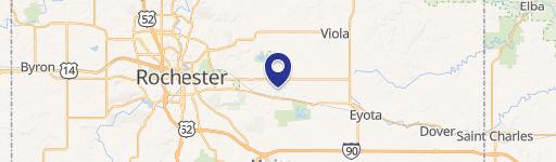
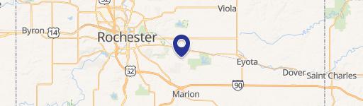
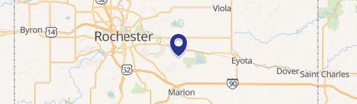
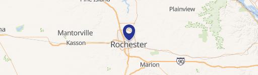
2030 Hwy 14th E Rochester, MN 55904-5163
Property profile & analytics
2030 Hwy 14th E, Rochester, MN 55904-5163
- Specialty properties
- 5,125 SF
- 0.61 lot acres
Property ID
US46-1194998
The Realmo ID is a unique identifier assigned to every property, incorporating country codes and precise geo-coordinates for 300x300-foot land blocks. It enables standardized data collection and seamless integration of disparate sources such as ownership, tax, title data and physical specifications. By aggregating current and historical records, the Realmo ID powers advanced analytics and delivers deep, verifiable insights for real estate professionals.
Location Intelligence
Current Use by Public Records
- Specialty properties
Property Details for 2030 Hwy 14th E
- Year built
- 1954
- Lot size
- 0.61 lot acres
- Property type
- Specialty properties
- APN
- 63.06.33.025643
- APU
- 630633025643
Sales History
| Date | Price | Buyer | Seller | Deed Type | Mortgage |
|---|---|---|---|---|---|
| Jun 19, 2017 | — | Fmg Properties LLC | — | Deed · related | $70k · Home Federal Savings Bank |
| Oct 24, 2006 | — | Raf Properties | Columbus Building Association Of Ro | Warranty Deed | — |
| Oct 24, 2006 | $450,000 | Fmg Properties LLC | Raf Properties | Warranty Deed | $365k · Eastwood Bank |
Value Estimations
based on Realmo’s proprietary methodology
-
AI approach
-
CAP approach
-
Comparable approach
-
Alternative Use
Get a detailed, property-specific estimation — fast and free
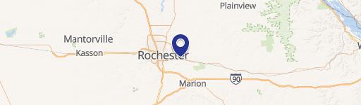
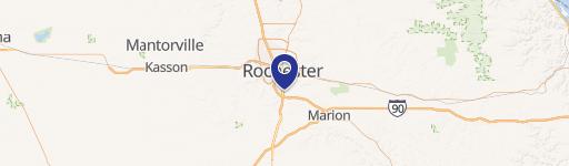
Location Insight
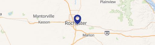
- Map
- Local Demand
- City
- Rochester
- County
- Olmsted
- State
- Minnesota
- Longitude
- -92.4354
- Latitude
- 44.0098
- CBSA code
- 40340
- CBSA name
- ROCHESTER, MN METROPOLITAN STATISTICAL AREA
Property Tax & Assessments
Tax date
Tax Amount
Assessed Land Value
Assessed Improvement Value
Total Assessed Value
Applied Tax Rate
Land Market Value
Improvement Market Value
Total Market Value
2023
$8,652
$79,000
$267,500
$346,500
-
$79,000
$267,500
$346,500