Property profile & analytics
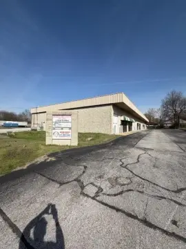
2030 Alliance Ave Springfield, MO 65803-9600
- Warehouses
- 77,160 SF
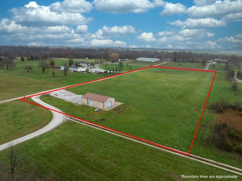
- 6.31 lot acres
OFF-MARKET
Value Estimations
$4,025,000
Show details
Cap Rate Potential
Location Intelligence
Property ID
US48-3311729
The Realmo ID is a unique identifier assigned to every property, incorporating country codes and precise geo-coordinates for 300x300-foot land blocks. It enables standardized data collection and seamless integration of disparate sources such as ownership, tax, title data and physical specifications. By aggregating current and historical records, the Realmo ID powers advanced analytics and delivers deep, verifiable insights for real estate professionals.
Current Use by Public Records
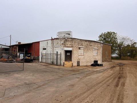
- Efco Corporation / Industrial Manufacturer / Production Facility
Property Details for 2030 Alliance Ave
- Year built
- 2005
- Lot size
- 6.31 lot acres
- Property size
- 77,160 SF
- Zone code
- INC
- Property type
- Warehouses
- APN
- 88-13-07-400-016
- APU
- 881307400016
Value Estimations
based on Realmo’s proprietary methodology
-
CAP approach
- CAP Return
- Estimation
- 6%
- $5,010,000
- 6.5%
- $4,625,000
- 7%
- $4,295,000
-
Comparable approach
- Method
- Estimation
- AI Estimate
- $3,431,000
Market price range: $1.34M - $3.90M -
Alternative Use
- Use
- Estimation
- MEDICAL BUILDING
- $6,205,000
- AUTO REPAIR, GARAGE
- $5,520,000
- OFFICE BUILDING
- $4,305,000
Get a detailed, property-specific valuation — fast and free
Location Insight
- Map
- Local Demand
- City
- Springfield
- County
- Greene
- State
- Missouri
- Longitude
- -93.3701
- Latitude
- 37.2351
- CBSA code
- 44180
- CBSA name
- SPRINGFIELD, MO METROPOLITAN STATISTICAL AREA
Property Tax & Assessments
Tax date
Tax Amount
Assessed Land Value
Assessed Improvement Value
Total Assessed Value
Applied Tax Rate
Land Market Value
Improvement Market Value
Total Market Value
2023
$103,209
$64,130
$1,517,790
$1,581,920
-
$200,400
$4,743,100
$4,943,500