20250 Mingus Dr Mayer, AZ 86333-2330
Property profile & analytics
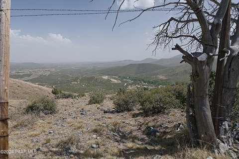
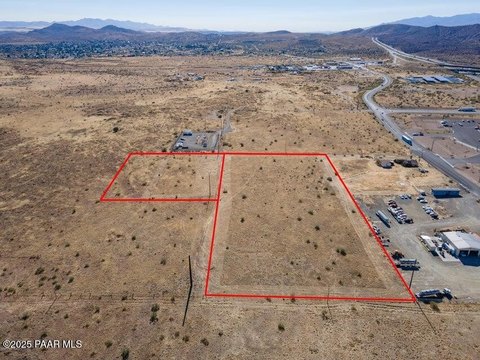
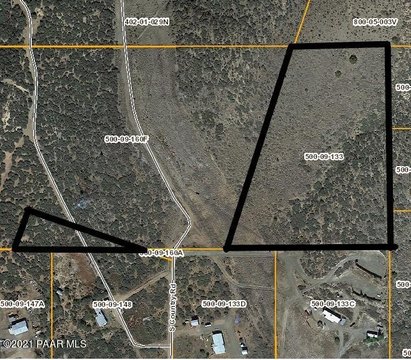
20250 Mingus Dr, Mayer, AZ 86333-2330
- Commercial land
- 0.26 lot acres
Property ID
US07-3265474
The Realmo ID is a unique identifier assigned to every property, incorporating country codes and precise geo-coordinates for 300x300-foot land blocks. It enables standardized data collection and seamless integration of disparate sources such as ownership, tax, title data and physical specifications. By aggregating current and historical records, the Realmo ID powers advanced analytics and delivers deep, verifiable insights for real estate professionals.
Location Intelligence
Current Use by Public Records
- Commercial land
Property Details for 20250 Mingus Dr
- Lot size
- 0.26 lot acres
- Property type
- Commercial land
- APN
- 500-33-139
- APU
- 50033139
Sales History
| Date | Price | Buyer | Seller | Deed Type | Mortgage |
|---|---|---|---|---|---|
| Dec 23, 2014 | $14,000 | Charles M Mains | Dyer-hurdon,john L III & Susan B | Grant Deed | $12k · John L III & Susan B Dyer-hurdon |
| Dec 23, 2014 | — | John L Dyer-hurdon III | Harrington,william R | Grant Deed · related | — |
| May 27, 2009 | $17,000 | John L Dyer-hurdon III | Harrington,william R | Warranty Deed | $12k · William R Harrington |
| Feb 14, 2005 | $11,000 | William R Harrington | Barkley,gary D & Patricia K | Warranty Deed | — |
| Jun 10, 2003 | $11,000 | Gary Barkley | Kunze,rick | Grant Deed · related | — |
| Oct 27, 1999 | $11,000 | Rick Kunze | Reuer,morris W & Doris | Grant Deed · related | $7k · Seller |
Value Estimations
based on Realmo’s proprietary methodology
-
AI approach
-
CAP approach
-
Comparable approach
-
Alternative Use
Get a detailed, property-specific estimation — fast and free
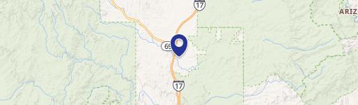
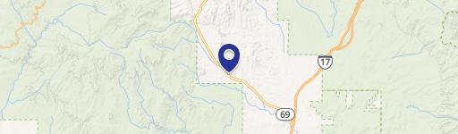
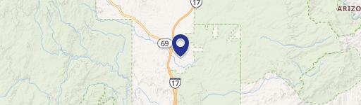
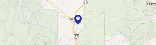
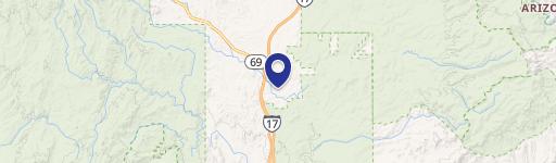
Location Insight
- Map
- Local Demand
- City
- Mayer
- County
- Yavapai
- State
- Arizona
- Longitude
- -112.107
- Latitude
- 34.3118
- CBSA code
- 39150
- CBSA name
- PRESCOTT VALLEY-PRESCOTT, AZ METROPOLITAN STATISTICAL AREA
Property Tax & Assessments
Tax date
Tax Amount
Assessed Land Value
Assessed Improvement Value
Total Assessed Value
Applied Tax Rate
Land Market Value
Improvement Market Value
Total Market Value
2022
$127
$2,447
$0.00
$2,447
-
$16,312
$0.00
$16,312