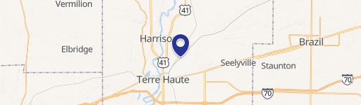
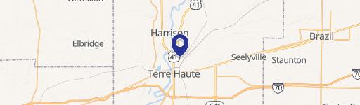
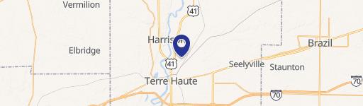
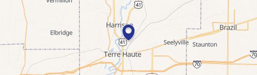
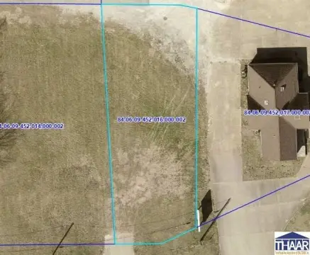
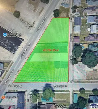
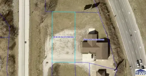
2010 Maple Ave Terre Haute, IN 47804
Property profile & analytics
2010 Maple Ave Terre Haute, IN 47804
- Commercial land
- 2.51 lot acres

Property ID
US31-2066321
The Realmo ID is a unique identifier assigned to every property, incorporating country codes and precise geo-coordinates for 300x300-foot land blocks. It enables standardized data collection and seamless integration of disparate sources such as ownership, tax, title data and physical specifications. By aggregating current and historical records, the Realmo ID powers advanced analytics and delivers deep, verifiable insights for real estate professionals.
Location Intelligence
Current Use by Public Records
- Commercial land
Property Details for 2010 Maple Ave
- Lot size
- 2.51 lot acres
- Property type
- Commercial land
- APN
- 84-06-11-353-001.000-002
- APU
- 840611353001000002
Description
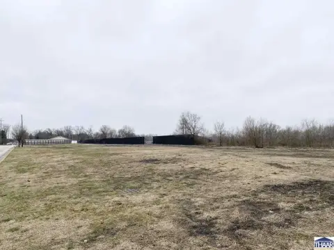
This exceptional 2.51-acre parcel located at 2010 Maple Ave in Terre Haute, Indiana, presents a unique investment opportunity. Currently zoned for commercial use, this property offers significant potential for a variety of development projects. The expansive lot size provides ample space for a range of commercial ventures, from retail establishments to office buildings. Alternatively, given the residential subtype, the property could be developed into single-family homes, duplexes, or multiplexes, catering to the growing housing demand in the area. Situated in Vigo County, with a convenient 47804 zip code, this location offers easy access to major transportation routes and local amenities. The asking price is $55,000, representing a compelling entry point for developers seeking a prime location with flexible zoning options. Detailed site plans and zoning information are readily available upon request. This property's versatility and strategic location make it an ideal investment for those seeking high-return potential in a thriving Indiana market. Don't miss this chance to acquire a significant land holding in a rapidly developing area. The latitude and longitude coordinates are 39.4924268 and -87.3862032 respectively. Serious inquiries only.
Value Estimations
based on Realmo’s proprietary methodology
-
AI approach
-
CAP approach
-
Comparable approach
-
Alternative Use
Get a detailed, property-specific estimation — fast and free
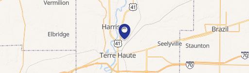
Location Insight
- Map
- Local Demand
- City
- Terre Haute
- County
- Vigo
- State
- Indiana
- Longitude
- -87.3862
- Latitude
- 39.4924
- CBSA code
- 45460
- CBSA name
- TERRE HAUTE, IN METROPOLITAN STATISTICAL AREA
Property Tax & Assessments
Tax date
Tax Amount
Assessed Land Value
Assessed Improvement Value
Total Assessed Value
Applied Tax Rate
Land Market Value
Improvement Market Value
Total Market Value
2023
$611
$9,200
$0.00
$9,200
-
$9,200
$0.00
$9,200