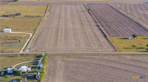
201 Hwy 79 Thrall, TX 76578-8611
Property profile & analytics
201 Hwy 79, Thrall, TX 76578-8611
- Commercial real estate
- 2,180 SF
- 0.49 lot acres
Property ID
US82-0365869
The Realmo ID is a unique identifier assigned to every property, incorporating country codes and precise geo-coordinates for 300x300-foot land blocks. It enables standardized data collection and seamless integration of disparate sources such as ownership, tax, title data and physical specifications. By aggregating current and historical records, the Realmo ID powers advanced analytics and delivers deep, verifiable insights for real estate professionals.
Location Intelligence
Current Use by Public Records
- Commercial real estate
Property Details for 201 Hwy 79
- Year built
- 1960
- Lot size
- 0.49 lot acres
- Property type
- Commercial real estate
- APN
- R-01-0268-1400-0037
- APU
- R01026814000037
Sales History
| Date | Price | Buyer | Seller | Deed Type | Mortgage |
|---|---|---|---|---|---|
| Feb 15, 2022 | — | Linda Heierman | Dg Holdings LLC | Special Warranty Deed | — |
| Dec 13, 2021 | — | Evk Holdings LLC | Lisa Ortiz | Warranty Deed | — |
| Jun 30, 2016 | — | Lisa Ortiz | Carrillo,antonio | Grant Deed · related | — |
| Jul 10, 2015 | — | Lisa Ortiz | Carrillo,antonio | Warranty Deed | — |
| Sep 21, 2007 | — | Antonio Carrillo | Drummond,marlene | Grant Deed | — |
| — | — | Antonio Carrillo | — | Deed Of Trust · related | — |
| — | — | Antonio Carrillo | — | Loan Modification · related | — |
Value Estimations
based on Realmo’s proprietary methodology
-
AI approach
-
CAP approach
-
Comparable approach
-
Alternative Use
Get a detailed, property-specific estimation — fast and free
Location Insight
- Map
- Local Demand
- City
- Thrall
- County
- Williamson
- State
- Texas
- Longitude
- -97.2969
- Latitude
- 30.592
- CBSA code
- 12420
- CBSA name
- AUSTIN-ROUND ROCK, TX METROPOLITAN STATISTICAL AREA
Property Tax & Assessments
Tax date
Tax Amount
Assessed Land Value
Assessed Improvement Value
Total Assessed Value
Applied Tax Rate
Land Market Value
Improvement Market Value
Total Market Value
2023
$9,621
$112,896
$344,222
$457,118
-
$112,896
$344,222
$457,118