1999 Taft Hwy Bakersfield, CA 93313-9235
Property profile & analytics
1999 Taft Hwy Bakersfield, CA 93313-9235
- Gas stations
- 2,978 SF
- 1.43 lot acres
Property ID
US10-2962121
The Realmo ID is a unique identifier assigned to every property, incorporating country codes and precise geo-coordinates for 300x300-foot land blocks. It enables standardized data collection and seamless integration of disparate sources such as ownership, tax, title data and physical specifications. By aggregating current and historical records, the Realmo ID powers advanced analytics and delivers deep, verifiable insights for real estate professionals.
Location Intelligence
Current Use by Public Records
- Chevron / Auto Repair Shop
- Subway / Take-out & Catering / Catering Service
Property Details for 1999 Taft Hwy
- Year built
- 2001
- Construction
- WOOD
- Lot size
- 1.43 lot acres
- Property size
- 2,978 SF
- Zone code
- M-1
- Property type
- Gas stations
- APN
- 184-160-21-00-9
- APU
- 18416021009
Value Estimations
based on Realmo’s proprietary methodology
-
AI approach
- Method
- Estimation
- ML approach
- $375,000
-
Comparable approach
- Method
- Estimation
- AI Estimate
- $686,000
Market price range: $327k - $806k
Get a detailed, property-specific estimation — fast and free
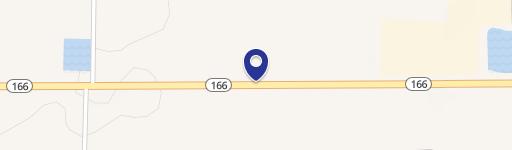
Location Insight
- Map
- Local Demand
- City
- Bakersfield
- County
- Kern
- State
- California
- Longitude
- -119.024
- Latitude
- 35.2663
- CBSA code
- 12540
- CBSA name
- BAKERSFIELD, CA METROPOLITAN STATISTICAL AREA
Property Tax & Assessments
Tax date
Tax Amount
Assessed Land Value
Assessed Improvement Value
Total Assessed Value
Applied Tax Rate
Land Market Value
Improvement Market Value
Total Market Value
2023
$23,678
$414,258
$1,597,872
$2,012,130
-
$0.00
$0.00
$0.00
Comparable in this City


Similar Nearby for Sale


Similar Nearby for Lease


Property Visit Statistics
-
Visits by month21.5k
-
Visitors by month13.7k
-
Avg Time on site16 min


