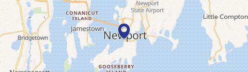
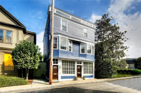
199 Connell Hwy Newport, RI 02840-1033
Property profile & analytics
199 Connell Hwy Newport, RI 02840-1033
- Commercial real estate
- 249,902 SF
- 27.88 lot acres
Property ID
US76-0184593
The Realmo ID is a unique identifier assigned to every property, incorporating country codes and precise geo-coordinates for 300x300-foot land blocks. It enables standardized data collection and seamless integration of disparate sources such as ownership, tax, title data and physical specifications. By aggregating current and historical records, the Realmo ID powers advanced analytics and delivers deep, verifiable insights for real estate professionals.
Location Intelligence
Current Use by Public Records
- Commercial real estate
Property Details for 199 Connell Hwy
- Year built
- 1970
- Construction
- MASONRY/CONCRETE MASONRY UNITS (CMUS)
- Lot size
- 27.88 lot acres
- Property size
- 249,902 SF
- Zone code
- CI
- Property type
- Commercial real estate
- APN
- NEWP M:004 B:0075
- APU
- NEWPM004B0075
Value Estimations
based on Realmo’s proprietary methodology
-
CAP approach
- CAP Return
- Estimation
- 6%
- $42,170,000
- 6.5%
- $38,925,000
- 7%
- $36,145,000
-
Comparable approach
- Method
- Estimation
- Statistic Estimate
- $50,397,000
- AI Estimate
- $23,861,000
Market price range: $41.7M - $140MMarket price range: $15.0M - $74.4M
Get a detailed, property-specific estimation — fast and free
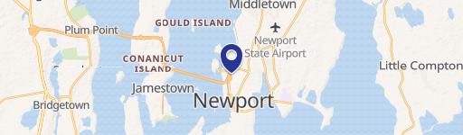
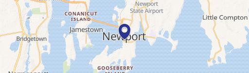
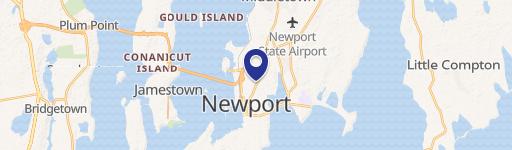
Location Insight
- Map
- Local Demand
- City
- Newport
- County
- Newport
- State
- Rhode Island
- Longitude
- -71.3165
- Latitude
- 41.5097
- CBSA code
- 39300
- CBSA name
- PROVIDENCE-NEW BEDFORD-FALL RIVER, RI-MA METROPOLITAN STATISTICAL AREA
Property Tax & Assessments
Tax date
Tax Amount
Assessed Land Value
Assessed Improvement Value
Total Assessed Value
Applied Tax Rate
Land Market Value
Improvement Market Value
Total Market Value
2020
$478,580
$14,280,100
$18,004,600
$32,284,700
-
$0.00
$0.00
$0.00
Comparable in this City


Similar Nearby for Sale


Similar Nearby for Lease


Property Visit Statistics
-
Visits by month131.5k
-
Visitors by month61.9k
-
Avg Time on site26 min


