Property profile & analytics
1950 Cygnet Hts Colorado Springs, CO 80916
- Commercial land
- 6.18 lot acres
Value Estimations
Cap Rate Potential
Location Intelligence
Property ID
US13-2488969
The Realmo ID is a unique identifier assigned to every property, incorporating country codes and precise geo-coordinates for 300x300-foot land blocks. It enables standardized data collection and seamless integration of disparate sources such as ownership, tax, title data and physical specifications. By aggregating current and historical records, the Realmo ID powers advanced analytics and delivers deep, verifiable insights for real estate professionals.
Current Use by Public Records
- Commercial land
Property Details for 1950 Cygnet Hts
- Lot size
- 6.18 lot acres
- Zone code
- PIP2/CR UV AO
- Property type
- Commercial land
- APN
- 6425007007
- APU
- 6425007007
Description
This exceptional 6.18-acre commercial land parcel, located at 1950 Cygnet Heights in Colorado Springs, Colorado (zip code 80916), presents a unique investment opportunity. Priced at $2,225,000 ($8.27/SF), this property boasts a generally flat topography and is ideally suited for build-to-suit projects for qualified tenants. The seller is willing to collaborate on custom construction to meet specific tenant needs. Zoned PIP 2/CR, UV, AO, CAZ, OZ (Planned Industrial Park Airport Overlay), this site allows for a variety of commercial uses, including M-1 uses. The lot size is 269,302 square feet, and all utilities are conveniently located adjacent to the property. The property is platted, with all associated fees already paid. Outside storage is permitted. The APN is 64250-07-007, and the 2023 property taxes totaled $16,580.12. Legal description: Lot 1, Airport OZ, Sub Fil No. 2. This prime location offers excellent potential for a wide range of commercial developments. Don't miss this chance to acquire a ready-to-develop site in a thriving Colorado Springs market.
Value Estimations
based on Realmo’s proprietary methodology
-
AI approach
- Method
- Estimation
- Statistic approach
- $895,000
- ML approach
- $905,000
Get a detailed, property-specific valuation — fast and free
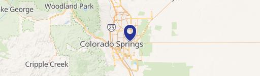
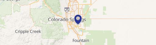
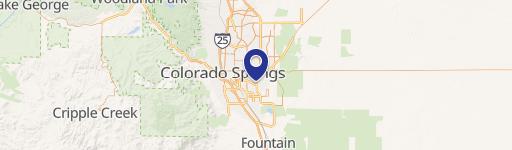
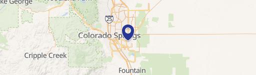
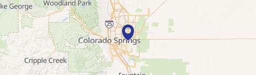
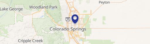
Location Insight
- Map
- Local Demand
- City
- Colorado Springs
- County
- El Paso
- State
- Colorado
- Longitude
- -104.728
- Latitude
- 38.8041
- CBSA code
- 17820
- CBSA name
- COLORADO SPRINGS, CO METROPOLITAN STATISTICAL AREA
Property Tax & Assessments
Tax date
Tax Amount
Assessed Land Value
Assessed Improvement Value
Total Assessed Value
Applied Tax Rate
Land Market Value
Improvement Market Value
Total Market Value
2023
$16,580
$322,960
$0.00
$322,960
-
$1,157,560
$0.00
$1,157,560