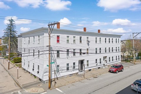
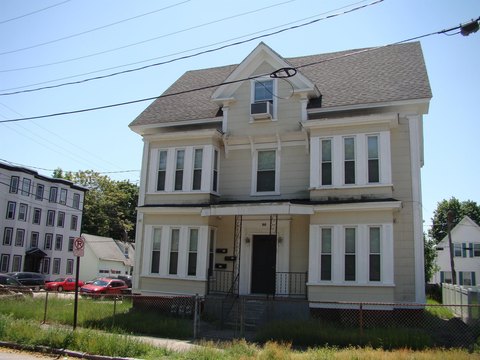
1915 Frnt St Manchester, NH 03102-8533
Property profile & analytics
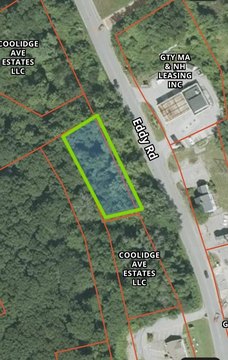
1915 Frnt St, Manchester, NH 03102-8533
- Specialty properties
- 33,840 SF
- 2.82 lot acres
Property ID
US58-0685176
The Realmo ID is a unique identifier assigned to every property, incorporating country codes and precise geo-coordinates for 300x300-foot land blocks. It enables standardized data collection and seamless integration of disparate sources such as ownership, tax, title data and physical specifications. By aggregating current and historical records, the Realmo ID powers advanced analytics and delivers deep, verifiable insights for real estate professionals.
Location Intelligence
Current Use by Public Records
- Specialty properties
Property Details for 1915 Frnt St
- Year built
- 1997
- Construction
- FRAME
- Lot size
- 2.82 lot acres
- Property type
- Specialty properties
- APN
- MNCH M:0767 B:000 L:0010C
- APU
- MNCHM0767B000L0010C
Sales History
| Date | Price | Buyer | Seller | Deed Type | Mortgage |
|---|---|---|---|---|---|
| Nov 27, 1996 | $265,000 | Snhs Farmington Elderl | Colonial Vil INC | Warranty Deed | $2.8M · Misc Other |
Value Estimations
based on Realmo’s proprietary methodology
-
AI approach
- Method
- Estimation
- ML approach
- $765,000
-
Comparable approach
- Method
- Estimation
- AI Estimate
- $1,249,000
Market price range: $764k - $3.76M -
Alternative Use
- Use
- Estimation
- CLUBS, LODGES, PROFESSIONAL ASSOCIATIONS
- $1,515,000 Current use
Get a detailed, property-specific estimation — fast and free
Location Insight
- Map
- Local Demand
- City
- Manchester
- County
- Hillsborough
- State
- New Hampshire
- Longitude
- -71.4799
- Latitude
- 43.036
- CBSA code
- 31700
- CBSA name
- MANCHESTER-NASHUA, NH METROPOLITAN STATISTICAL AREA
Property Tax & Assessments
Tax date
Tax Amount
Assessed Land Value
Assessed Improvement Value
Total Assessed Value
Applied Tax Rate
Land Market Value
Improvement Market Value
Total Market Value
2023
$0.00
$1,040,400
$3,317,200
$4,357,600
-
$0.00
$0.00
$0.00