1839 Lowr Rd Gilbertville, MA 01031
Property profile & analytics
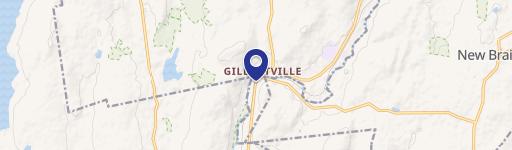
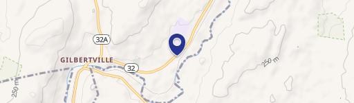
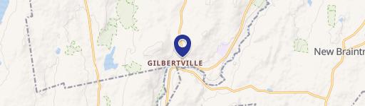
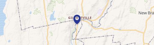
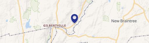
1839 Lowr Rd, Gilbertville, MA 01031
- Retail space
- 1,620 SF
- 1.50 lot acres
Property ID
US38-1396017
The Realmo ID is a unique identifier assigned to every property, incorporating country codes and precise geo-coordinates for 300x300-foot land blocks. It enables standardized data collection and seamless integration of disparate sources such as ownership, tax, title data and physical specifications. By aggregating current and historical records, the Realmo ID powers advanced analytics and delivers deep, verifiable insights for real estate professionals.
Location Intelligence
Current Use by Public Records
- Retail space
Property Details for 1839 Lowr Rd
- Year built
- 1995
- Lot size
- 1.50 lot acres
- Zone code
- R40
- Property type
- Retail space
- APN
- HARD M:1250 B:0000 L:0033-0
- APU
- HARDM1250B0000L00330
Sales History
| Date | Price | Buyer | Seller | Deed Type | Mortgage |
|---|---|---|---|---|---|
| Feb 4, 2022 | — | Choley LLC | Jeremy Nowicki | Quit Claim Deed · related | — |
| Nov 22, 2021 | $250,000 | Jeremy Nowicki | Charles E Lemaitre | Quit Claim Arm's Length For Ne States | $200k · Charles E Lemaitre |
| Mar 31, 2017 | $145,500 | Charles E Lemaitre | North Brookfield Sb|mancini,stevens C | Foreclosure · related | — |
| Jul 1, 2014 | — | Stevens C Mancini | — | Deed Of Trust · related | $36k · Barre Congregational Church |
| Sep 9, 2011 | — | Steven C Mancini | — | Deed Of Trust · related | $225k · Familyfirst Bank |
Value Estimations
based on Realmo’s proprietary methodology
-
AI approach
-
CAP approach
-
Comparable approach
-
Alternative Use
Get a detailed, property-specific estimation — fast and free
Location Insight
- Map
- Local Demand
- City
- Gilbertville
- County
- Worcester
- State
- Massachusetts
- Longitude
- -72.1595
- Latitude
- 42.3439
- CBSA code
- 49340
- CBSA name
- WORCESTER, MA-CT METROPOLITAN STATISTICAL AREA
Property Tax & Assessments
Tax date
Tax Amount
Assessed Land Value
Assessed Improvement Value
Total Assessed Value
Applied Tax Rate
Land Market Value
Improvement Market Value
Total Market Value
2024
$4,076
$54,700
$268,300
$323,000
-
$0.00
$0.00
$0.00