
Property profile & analytics
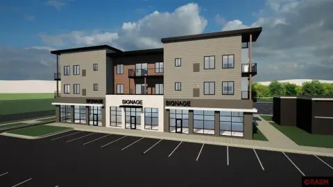
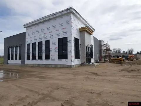
1711 Lor Ray Dr North Mankato, MN 56003-1940
- Grocery and convenience stores
- 2,400 SF
- 0.42 lot acres
Location Intelligence
Property ID
US46-2567892
The Realmo ID is a unique identifier assigned to every property, incorporating country codes and precise geo-coordinates for 300x300-foot land blocks. It enables standardized data collection and seamless integration of disparate sources such as ownership, tax, title data and physical specifications. By aggregating current and historical records, the Realmo ID powers advanced analytics and delivers deep, verifiable insights for real estate professionals.
Current Use by Public Records
- Grocery and convenience stores
Property Details for 1711 Lor Ray Dr
- Year built
- 1976
- Lot size
- 0.42 lot acres
- Property size
- 2,400 SF
- Property type
- Grocery and convenience stores
- APN
- 18.795.0020
- APU
- 187950020
Value Estimation
by Realmo proprietary methodology
Last update: July 3, 2025
-
AI approach
- CAP return
- Estimation
- Estimation
- $700,000
-
CAP approach
- CAP return
- Estimation
- 6%
- $765,000
- 6.5%
- $690,000
- 7%
- $775,000
-
Comparable approach
- Method
- Estimation
- Relative Method
- $665,000
- Geo Method
- $850,000
-
Alternative Use
- Use
- Estimation
- Distribution
- $670,000
- Retail
- $765,000
- Mixed-Use
- $785,000
- Hospitality
- $660,000
- Educational
- $620,000
- Residential Income
- $575,000
- Energy
- $755,000
- Income-Based Land
- $570,000
- Food Service
- $635,000
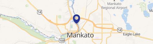
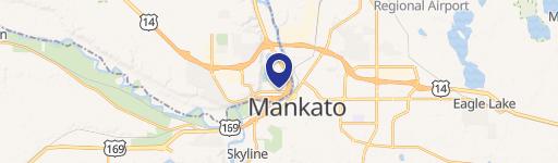
Location Insight
- Map
- Local Demand
- City
- North Mankato
- County
- Nicollet
- State
- Minnesota
- Longitude
- -94.0338
- Latitude
- 44.1773
- CBSA code
- 31860
- CBSA name
- MANKATO-NORTH MANKATO, MN MICROPOLITAN STATISTICAL AREA
Property Tax & Assessments
Tax date
Tax Amount
Assessed Land Value
Assessed Improvement Value
Total Assessed Value
Applied Tax Rate
Land Market Value
Improvement Market Value
Total Market Value
2023
$6,516
$93,700
$188,900
$282,600
-
$93,700
$188,900
$282,600
Comparable in this City


Similar Nearby for Sale


Similar Nearby for Lease


Property Visit Statistics
-
Visits by month1.9k
-
Visitors by month2.0k
-
Avg Time on site8 min