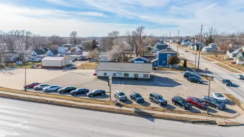
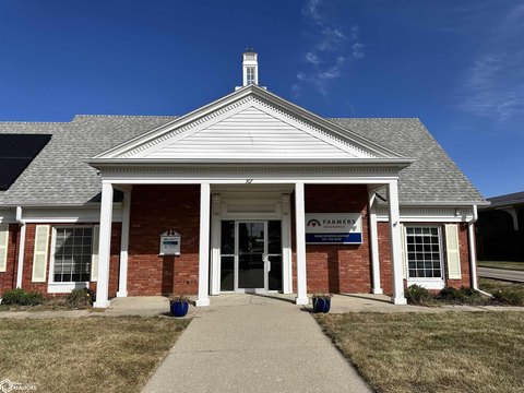
1706 Governor Rd Marshalltown, IA 50158
Property profile & analytics
1706 Governor Rd Marshalltown, IA 50158
- Office buildings
- 72,270 SF
- 69.27 lot acres

Property ID
US25-1167390
The Realmo ID is a unique identifier assigned to every property, incorporating country codes and precise geo-coordinates for 300x300-foot land blocks. It enables standardized data collection and seamless integration of disparate sources such as ownership, tax, title data and physical specifications. By aggregating current and historical records, the Realmo ID powers advanced analytics and delivers deep, verifiable insights for real estate professionals.
Location Intelligence
Current Use by Public Records
- Emerson Electric Co / Factory / Industrial Manufacturer
Property Details for 1706 Governor Rd
- Year built
- 1975
- Lot size
- 69.27 lot acres
- Property size
- 72,270 SF
- Zone code
- M-2
- Property type
- Office buildings
- APN
- 8318-01-401-002
- APU
- 831801401002
Description
This exceptional investment opportunity presents a former Tier II data center spanning 49,673 square feet on a 12.45-acre lot in Marshalltown, Iowa. The property boasts a 1 MW power capacity with expansion potential, ensuring ample power for current and future needs. High-speed fiber connectivity is provided by major carriers including AT&T/CenturyLink and Verizon/Windstream, guaranteeing reliable network access. The facility includes a 12,000 square foot data center area with a power density of 150 watts per square foot. Built in 1975, this single-story building features two dock-high doors and is situated in a convenient location near Highway 30, offering excellent accessibility. The property is zoned for industrial use and is offered at $1,950,000, translating to $39.26 per square foot. This represents a unique chance to acquire a well-located, substantial data center facility with significant growth potential. The property's size, power capacity, and connectivity make it ideal for a variety of uses, including telecommunications, data storage, and other technology-related businesses. This is a rare opportunity to acquire a substantial asset in a growing market.
Value Estimations
based on Realmo’s proprietary methodology
-
Alternative Use
- Use
- Estimation
- OFFICE BUILDING
- $5,575,000 Current use
- COMMERCIAL (GENERAL)
- $6,035,000 Change: +8% Conversion: Easy
- RESTAURANT
- $5,625,000 Change: +1% Conversion: Moderate
- WAREHOUSE, STORAGE
- $5,005,000 Change: -10% Conversion: Difficult
Get a detailed, property-specific estimation — fast and free
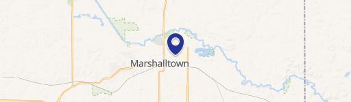
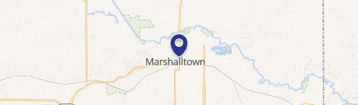
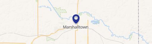
Location Insight
- Map
- Local Demand
- City
- Marshalltown
- County
- Marshall
- State
- Iowa
- Longitude
- -92.8906
- Latitude
- 42.0257
- CBSA code
- 32260
- CBSA name
- MARSHALLTOWN, IA MICROPOLITAN STATISTICAL AREA
Property Tax & Assessments
Tax date
Tax Amount
Assessed Land Value
Assessed Improvement Value
Total Assessed Value
Applied Tax Rate
Land Market Value
Improvement Market Value
Total Market Value
2023
$364,103
$565,770
$9,784,610
$10,350,380
-
$565,770
$9,784,610
$10,350,380