Property profile & analytics
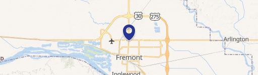
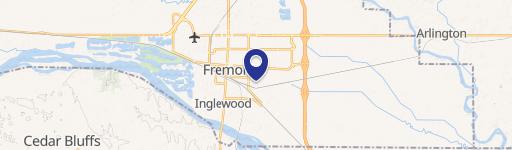
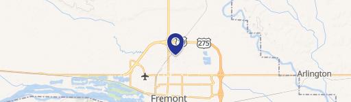
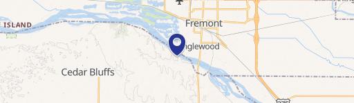
1577 N Airport Rd Fremont, NE 68025
- Manufacturing properties
- 68,420 SF
- 2.00 lot acres
For Lease
View listing
$5 SF/Yr
Value Estimations
$1,130,000
Cap Rate Potential
Location Intelligence
Property ID
US57-0713538
The Realmo ID is a unique identifier assigned to every property, incorporating country codes and precise geo-coordinates for 300x300-foot land blocks. It enables standardized data collection and seamless integration of disparate sources such as ownership, tax, title data and physical specifications. By aggregating current and historical records, the Realmo ID powers advanced analytics and delivers deep, verifiable insights for real estate professionals.
Current Use by Public Records
- My Central Supply / Big Box & Wholesale Store / Building Supply
Property Details for 1577 N Airport Rd
- Year built
- 1978
- Lot size
- 2.00 lot acres
- Property size
- 68,420 SF
- Zone code
- INDUSTRIAL
- Property type
- Manufacturing properties
- APN
- 270062013
- APU
- 270062013
Value Estimations
based on Realmo’s proprietary methodology
-
AI approach
- Method
- Estimation
- ML approach
- $680,000
-
Comparable approach
- Method
- Estimation
- AI Estimate
- $1,580,000
Market price range: $1.49M - $7.28M
Get a detailed, property-specific valuation — fast and free
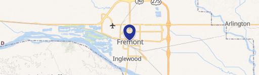
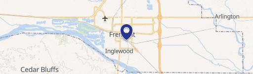
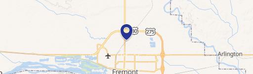
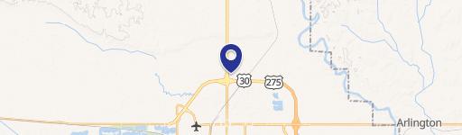
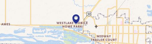
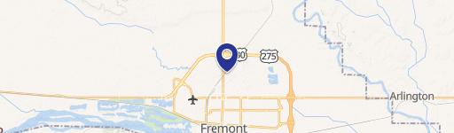
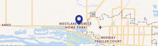
Location Insight
- Map
- Local Demand
- City
- Fremont
- County
- Dodge
- State
- Nebraska
- Longitude
- -96.5121
- Latitude
- 41.444
- CBSA code
- 23340
- CBSA name
- FREMONT, NE MICROPOLITAN STATISTICAL AREA
Property Tax & Assessments
Tax date
Tax Amount
Assessed Land Value
Assessed Improvement Value
Total Assessed Value
Applied Tax Rate
Land Market Value
Improvement Market Value
Total Market Value
2023
$15,668
$72,500
$1,522,007
$1,594,507
-
$72,500
$1,522,007
$1,594,507