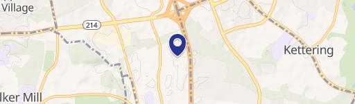
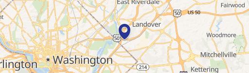
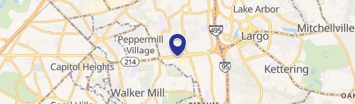
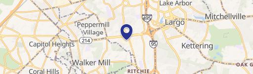
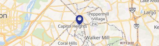
1535 Antelope Ln Capitol Heights, MD 20743-1014
Property profile & analytics
1535 Antelope Ln Capitol Heights, MD 20743-1014
- Distribution centers
- 10,535 SF
- 0.78 lot acres
Property ID
US40-1413505
The Realmo ID is a unique identifier assigned to every property, incorporating country codes and precise geo-coordinates for 300x300-foot land blocks. It enables standardized data collection and seamless integration of disparate sources such as ownership, tax, title data and physical specifications. By aggregating current and historical records, the Realmo ID powers advanced analytics and delivers deep, verifiable insights for real estate professionals.
Location Intelligence
Current Use by Public Records
- Rodgers Brothers / Waste Management Facility
Property Details for 1535 Antelope Ln
- Year built
- 1964
- Construction
- MASONRY/CONCRETE MASONRY UNITS (CMUS)
- Lot size
- 0.78 lot acres
- Property size
- 10,535 SF
- Zone code
- IE
- Property type
- Distribution centers
- APN
- 18-2045631
- APU
- 182045631
Value Estimations
based on Realmo’s proprietary methodology
-
Alternative Use
- Use
- Estimation
- WAREHOUSE, STORAGE
- $2,530,000 Current use
Get a detailed, property-specific estimation — fast and free
Location Insight
- Map
- Local Demand
- City
- Capitol Heights
- County
- Prince George's
- State
- Maryland
- Longitude
- -76.929
- Latitude
- 38.9106
- CBSA code
- 47900
- CBSA name
- WASHINGTON-ARLINGTON-ALEXANDRIA, DC-VA-MD-WV METROPOLITAN STATISTICAL AREA
Property Tax & Assessments
Tax date
Tax Amount
Assessed Land Value
Assessed Improvement Value
Total Assessed Value
Applied Tax Rate
Land Market Value
Improvement Market Value
Total Market Value
2023
$13,175
$106,000
$1,078,800
$1,184,800
-
$106,000
$1,078,800
$1,184,800