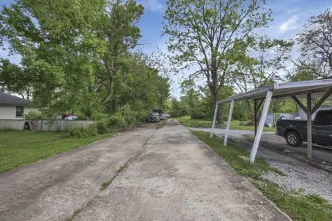
1514 Stringtown Rd Grove City, OH 43123-9743
Property profile & analytics
1514 Stringtown Rd, Grove City, OH 43123-9743
- Drive through restaurants
- 7,669 SF
- 1.88 lot acres
Property ID
US66-2124976
The Realmo ID is a unique identifier assigned to every property, incorporating country codes and precise geo-coordinates for 300x300-foot land blocks. It enables standardized data collection and seamless integration of disparate sources such as ownership, tax, title data and physical specifications. By aggregating current and historical records, the Realmo ID powers advanced analytics and delivers deep, verifiable insights for real estate professionals.
Location Intelligence
Current Use by Public Records
- Olive Garden Italian Restaurant / Take-out & Catering / Catering Service
Property Details for 1514 Stringtown Rd
- Year built
- 2006
- Lot size
- 1.88 lot acres
- Property type
- Drive through restaurants
- APN
- 040-013647
- APU
- 40013647
Sales History
| Date | Price | Buyer | Seller | Deed Type | Mortgage |
|---|---|---|---|---|---|
| Dec 28, 2015 | — | Fcpt Garden Properties LLC | N & D Restaurants LLC | Quit Claim Deed | — |
| Mar 13, 2009 | — | N & D Restaurants INC | Gmri INC | Warranty Deed | — |
| Mar 14, 2006 | $1,200,000 | Gmri INC | Stringtown Partners North LLC | Grant Deed | — |
Value Estimations
based on Realmo’s proprietary methodology
-
Comparable approach
- Method
- Estimation
- AI Estimate
- $1,310,000
Market price range: $610k - $1.46M
Get a detailed, property-specific estimation — fast and free
Location Insight
- Map
- Local Demand
- City
- Grove City
- County
- Franklin
- State
- Ohio
- Longitude
- -83.0383
- Latitude
- 39.8788
- CBSA code
- 18140
- CBSA name
- COLUMBUS, OH METROPOLITAN STATISTICAL AREA
Property Tax & Assessments
Tax date
Tax Amount
Assessed Land Value
Assessed Improvement Value
Total Assessed Value
Applied Tax Rate
Land Market Value
Improvement Market Value
Total Market Value
2023
$69,500
$401,070
$524,200
$925,270
-
$1,145,900
$1,497,700
$2,643,600