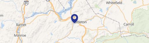
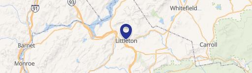
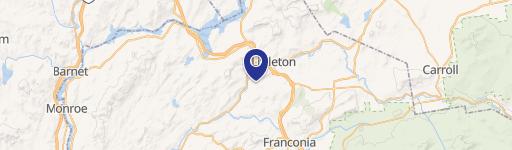
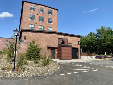
150 Burndy Rd Littleton, NH 03561-3957
Property profile & analytics
150 Burndy Rd, Littleton, NH 03561-3957
- Manufacturing properties
- 118,756 SF
- 23.30 lot acres
Property ID
US58-0257618
The Realmo ID is a unique identifier assigned to every property, incorporating country codes and precise geo-coordinates for 300x300-foot land blocks. It enables standardized data collection and seamless integration of disparate sources such as ownership, tax, title data and physical specifications. By aggregating current and historical records, the Realmo ID powers advanced analytics and delivers deep, verifiable insights for real estate professionals.
Location Intelligence
Current Use by Public Records
- Burndy / Industrial Manufacturer / Production Facility
Property Details for 150 Burndy Rd
- Year built
- 1976
- Construction
- STEEL FRAME
- Lot size
- 23.30 lot acres
- Zone code
- I
- Property type
- Manufacturing properties
- APN
- LTLN M:91 B:50 L:
- APU
- LTLNM91B50L
Sales History
| Date | Price | Buyer | Seller | Deed Type | Mortgage |
|---|---|---|---|---|---|
| Oct 27, 2009 | $3,500,000 | Burndy LLC | Fci USA INC | Grant Deed | — |
Value Estimations
based on Realmo’s proprietary methodology
-
CAP approach
- CAP Return
- Estimation
- 6%
- $18,010,000
- 6.5%
- $16,625,000
- 7%
- $15,440,000
-
Comparable approach
- Method
- Estimation
- AI Estimate
- $13,156,000
Market price range: $2.94M - $20.9M -
Alternative Use
- Use
- Estimation
- INDUSTRIAL (GENERAL)
- $10,395,000 Current use
- OFFICE BUILDING
- $12,735,000 Change: +23% Conversion: Difficult
- COMMERCIAL (GENERAL)
- $12,115,000 Change: +17% Conversion: Difficult
- RESTAURANT
- $12,065,000 Change: +16% Conversion: Difficult
- AUTO REPAIR, GARAGE
- $11,835,000 Change: +14% Conversion: Easy
Get a detailed, property-specific estimation — fast and free
Location Insight
- Map
- Local Demand
- City
- Littleton
- County
- Grafton
- State
- New Hampshire
- Longitude
- -71.7957
- Latitude
- 44.2998
- CBSA code
- 30100
- CBSA name
- LEBANON, NH-VT MICROPOLITAN STATISTICAL AREA
Property Tax & Assessments
Tax date
Tax Amount
Assessed Land Value
Assessed Improvement Value
Total Assessed Value
Applied Tax Rate
Land Market Value
Improvement Market Value
Total Market Value
2022
$195,922
$521,100
$7,975,100
$8,496,200
-
$0.00
$0.00
$0.00