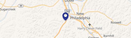
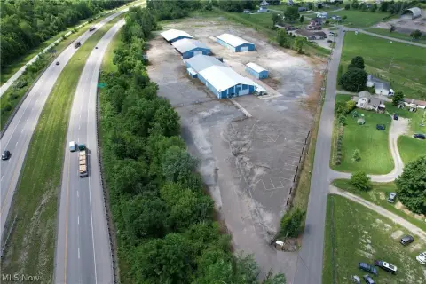
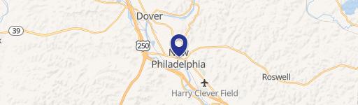
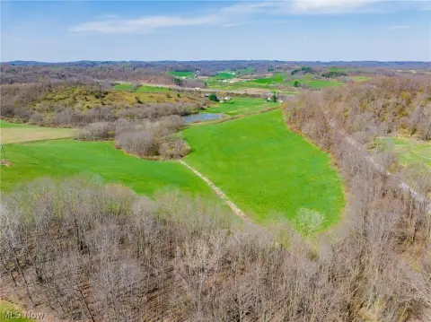
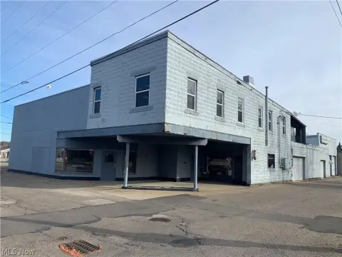
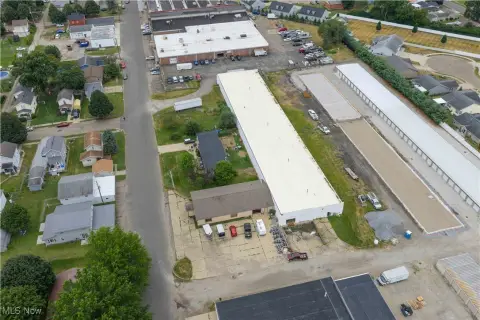
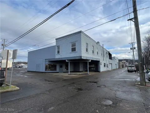
149 Stonecreek NW Rd New Philadelphia, OH 44663-6902
Property profile & analytics
149 Stonecreek NW Rd, New Philadelphia, OH 44663-6902
- Manufacturing properties
- 9,680 SF
- 1.66 lot acres
Property ID
US66-1870353
The Realmo ID is a unique identifier assigned to every property, incorporating country codes and precise geo-coordinates for 300x300-foot land blocks. It enables standardized data collection and seamless integration of disparate sources such as ownership, tax, title data and physical specifications. By aggregating current and historical records, the Realmo ID powers advanced analytics and delivers deep, verifiable insights for real estate professionals.
Location Intelligence
Current Use by Public Records
- Denney Plastics Machining / Factory / Production Facility
Property Details for 149 Stonecreek NW Rd
- Year built
- 2008
- Lot size
- 1.66 lot acres
- Property type
- Manufacturing properties
- APN
- 12-00145.002
- APU
- 1200145002
Sales History
| Date | Price | Buyer | Seller | Deed Type | Mortgage |
|---|---|---|---|---|---|
| Jan 27, 2021 | — | Davnic Properties LLC | — | Deed · related | $589k · First Federal Community Bank |
| Sep 17, 2020 | — | Davnic Properties LLC | — | Deed · related | $40k · First Federal Community Bank |
| Jun 26, 2015 | $258,000 | Davnic Properties LLC | Rjs Polymers Ltd | Warranty Deed | $370k · First Federal Community Bank NA |
| — | — | Rjs Polymers Ltd | — | Deed Of Trust · related | $169k · Peoples Bk&tr Co/pointe Coup |
Value Estimations
based on Realmo’s proprietary methodology
-
CAP approach
- CAP Return
- Estimation
- 6%
- $530,000
- 6.5%
- $490,000
- 7%
- $455,000
-
Comparable approach
- Method
- Estimation
- Statistic Estimate
- $914,000
Market price range: $200k - $1.00M -
Alternative Use
- Use
- Estimation
- INDUSTRIAL (GENERAL)
- $495,000 Current use
- COMMERCIAL (GENERAL)
- $940,000 Change: +91% Conversion: Difficult
- OFFICE BUILDING
- $860,000 Change: +74% Conversion: Difficult
- RETAIL STORES
- $850,000 Change: +73% Conversion: Moderate
- AUTO REPAIR, GARAGE
- $810,000 Change: +64% Conversion: Easy
Get a detailed, property-specific estimation — fast and free
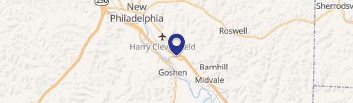
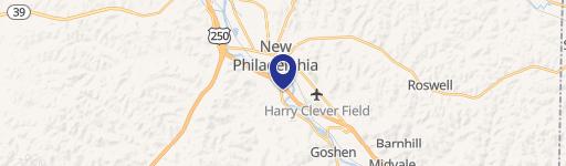
Location Insight
- Map
- Local Demand
- City
- New Philadelphia
- County
- Tuscarawas
- State
- Ohio
- Longitude
- -81.4827
- Latitude
- 40.4869
- CBSA code
- 35420
- CBSA name
- NEW PHILADELPHIA-DOVER, OH MICROPOLITAN STATISTICAL AREA
Property Tax & Assessments
Tax date
Tax Amount
Assessed Land Value
Assessed Improvement Value
Total Assessed Value
Applied Tax Rate
Land Market Value
Improvement Market Value
Total Market Value
2023
$8,390
$51,000
$459,430
$510,430
-
$51,000
$459,430
$510,430