Property profile & analytics
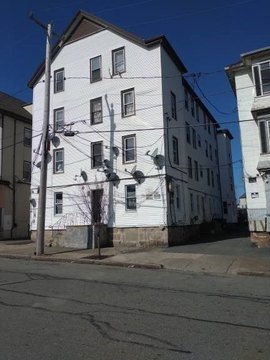
1245 Shawmut Ave New Bedford, MA 02746-1328
- Commercial real estate
- 8.53 lot acres
OFF-MARKET
Last Sale
Feb 18, 2022
Feb 18, 2022
$5,210,000
Value Estimations
$6,350,000
Show details
Cap Rate Potential
Location Intelligence
Property ID
US38-0309412
The Realmo ID is a unique identifier assigned to every property, incorporating country codes and precise geo-coordinates for 300x300-foot land blocks. It enables standardized data collection and seamless integration of disparate sources such as ownership, tax, title data and physical specifications. By aggregating current and historical records, the Realmo ID powers advanced analytics and delivers deep, verifiable insights for real estate professionals.
Current Use by Public Records
- 1-800-DUMPSTER / Waste Management Facility / Hazardous Waste Disposal
- ABC Disposal - New Bedford / Waste Management Facility / Hazardous Waste Disposal
- Ze-gen, Inc. / Professional Services / Gas Company
Property Details for 1245 Shawmut Ave
- Lot size
- 8.53 lot acres
- Zone code
- IB
- Property type
- Commercial real estate
- APN
- NEWB M:0123 L:0112
- APU
- NEWBM0123L0112
Value Estimations
based on Realmo’s proprietary methodology
-
AI approach
- Method
- Estimation
- Statistic approach
- $8,155,000
- ML approach
- $6,825,000
Get a detailed, property-specific valuation — fast and free
Location Insight
- Map
- Local Demand
- City
- New Bedford
- County
- Bristol
- State
- Massachusetts
- Longitude
- -70.9543
- Latitude
- 41.6672
- CBSA code
- 39300
- CBSA name
- PROVIDENCE-NEW BEDFORD-FALL RIVER, RI-MA METROPOLITAN STATISTICAL AREA
Property Tax & Assessments
Tax date
Tax Amount
Assessed Land Value
Assessed Improvement Value
Total Assessed Value
Applied Tax Rate
Land Market Value
Improvement Market Value
Total Market Value
2020
$85,043
$1,558,000
$3,165,300
$4,723,300
-
$0.00
$0.00
$0.00