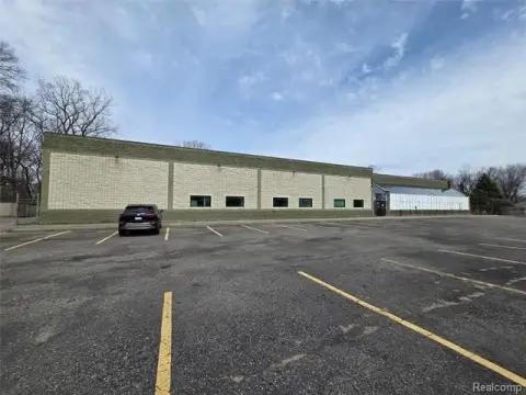
12300 Merriman Rd Livonia, MI 48150-1917
Property profile & analytics
12300 Merriman Rd Livonia, MI 48150-1917
- Industrial properties
- 40,973 SF
- 2.38 lot acres
Property ID
US43-1435881
The Realmo ID is a unique identifier assigned to every property, incorporating country codes and precise geo-coordinates for 300x300-foot land blocks. It enables standardized data collection and seamless integration of disparate sources such as ownership, tax, title data and physical specifications. By aggregating current and historical records, the Realmo ID powers advanced analytics and delivers deep, verifiable insights for real estate professionals.
Location Intelligence
Current Use by Public Records
- Premier Panel Company / Construction Company
Property Details for 12300 Merriman Rd
- Year built
- 1963
- Construction
- CONCRETE BLOCKS
- Lot size
- 2.38 lot acres
- Property size
- 40,973 SF
- Property type
- Industrial properties
- APN
- 46 103 99 0001 000
- APU
- 46103990001000
Value Estimations
based on Realmo’s proprietary methodology
-
Comparable approach
- Method
- Estimation
- Statistic Estimate
- $1,954,000
- AI Estimate
- $1,954,000
Market price range: $1.52M - $4.34MMarket price range: $1.52M - $4.34M -
Alternative Use
- Use
- Estimation
- RETAIL STORES
- $3,120,000
Get a detailed, property-specific estimation — fast and free
Location Insight
- Map
- Local Demand
- City
- Livonia
- County
- Wayne
- State
- Michigan
- Longitude
- -83.3514
- Latitude
- 42.3743
- CBSA code
- 19820
- CBSA name
- DETROIT-WARREN-LIVONIA, MI METROPOLITAN STATISTICAL AREA
Property Tax & Assessments
Tax date
Tax Amount
Assessed Land Value
Assessed Improvement Value
Total Assessed Value
Applied Tax Rate
Land Market Value
Improvement Market Value
Total Market Value
2023
$32,604
$0.00
$0.00
$566,600
-
$0.00
$0.00
$1,133,200