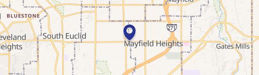
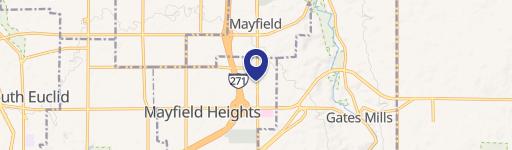
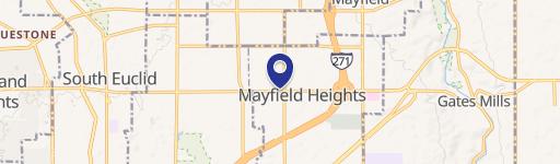
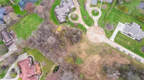
1209 Som Ctr Rd Mayfield Heights, OH 44124-2008
Property profile & analytics
1209 Som Ctr Rd, Mayfield Heights, OH 44124-2008
- Banks
- 4,929 SF
- 0.83 lot acres
Property ID
US66-0935265
The Realmo ID is a unique identifier assigned to every property, incorporating country codes and precise geo-coordinates for 300x300-foot land blocks. It enables standardized data collection and seamless integration of disparate sources such as ownership, tax, title data and physical specifications. By aggregating current and historical records, the Realmo ID powers advanced analytics and delivers deep, verifiable insights for real estate professionals.
Location Intelligence
Current Use by Public Records
- Banks
Property Details for 1209 Som Ctr Rd
- Year built
- 2004
- Construction
- WOOD
- Lot size
- 0.83 lot acres
- Zone code
- U-4B
- Property type
- Banks
- APN
- 862-24-004
- APU
- 86224004
Sales History
| Date | Price | Buyer | Seller | Deed Type | Mortgage |
|---|---|---|---|---|---|
| Aug 19, 2003 | $600,000 | Fifth Third Bank | Quinn,patrick | Grant Deed · related | — |
| Mar 25, 2003 | — | Patrick D Quinn | Carney,john P & Eileen | Quit Claim Deed · related | — |
Value Estimations
based on Realmo’s proprietary methodology
-
AI approach
- Method
- Estimation
- ML approach
- $445,000
-
Comparable approach
- Method
- Estimation
- AI Estimate
- $623,000
Market price range: $312k - $624k
Get a detailed, property-specific estimation — fast and free
Location Insight
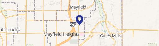
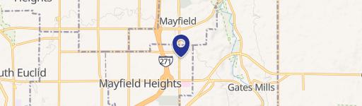
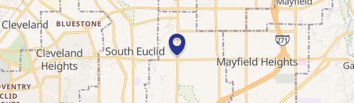
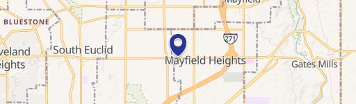
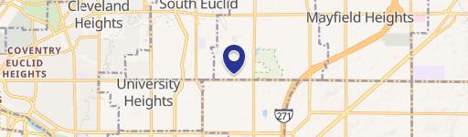
- Map
- Local Demand
- City
- Mayfield Heights
- County
- Cuyahoga
- State
- Ohio
- Longitude
- -81.4381
- Latitude
- 41.5277
- CBSA code
- 17460
- CBSA name
- CLEVELAND-ELYRIA-MENTOR, OH METROPOLITAN STATISTICAL AREA
Property Tax & Assessments
Tax date
Tax Amount
Assessed Land Value
Assessed Improvement Value
Total Assessed Value
Applied Tax Rate
Land Market Value
Improvement Market Value
Total Market Value
2023
$51,690
$211,680
$360,150
$571,830
-
$604,800
$1,029,000
$1,633,800