119 Val Dervin Pkwy Stockton, CA 95206-4225
Property profile & analytics
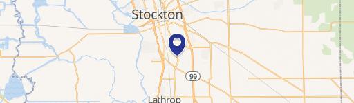
119 Val Dervin Pkwy, Stockton, CA 95206-4225
- Industrial properties
- 42,188 SF
- 2.71 lot acres
Property ID
US09-0068915
The Realmo ID is a unique identifier assigned to every property, incorporating country codes and precise geo-coordinates for 300x300-foot land blocks. It enables standardized data collection and seamless integration of disparate sources such as ownership, tax, title data and physical specifications. By aggregating current and historical records, the Realmo ID powers advanced analytics and delivers deep, verifiable insights for real estate professionals.
Location Intelligence
Current Use by Public Records
- Tri Map International Inc / Industrial Manufacturer / Production Facility
- SHAPE Inc - Stockton / Building Supply
Property Details for 119 Val Dervin Pkwy
- Year built
- 1989
- Lot size
- 2.71 lot acres
- Zone code
- EP
- Property type
- Industrial properties
- APN
- 193-370-080-000
- APU
- 193370080000
Value Estimations
based on Realmo’s proprietary methodology
-
AI approach
- Method
- Estimation
- Statistic approach
- $4,145,000
- ML approach
- $3,905,000
-
Comparable approach
- Method
- Estimation
- Statistic Estimate
- $3,786,000
Market price range: $2.62M - $7.01M -
Alternative Use
- Use
- Estimation
- MULTI-TENANT INDUSTRIAL BUILDING
- $4,610,000 Current use
- COMMERCIAL (GENERAL)
- $6,170,000 Change: +34% Conversion: Difficult
- AUTO REPAIR, GARAGE
- $6,090,000 Change: +32% Conversion: Difficult
- APARTMENT HOUSE (5+ UNITS)
- $5,925,000 Change: +29% Conversion: Difficult
- INDUSTRIAL (GENERAL)
- $5,030,000 Change: +9% Conversion: Difficult
Get a detailed, property-specific estimation — fast and free
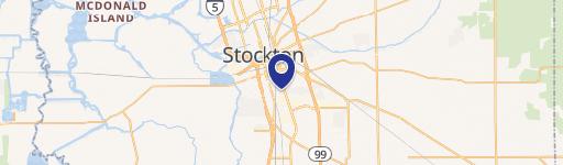
Location Insight
- Map
- Local Demand
- City
- Stockton
- County
- San Joaquin
- State
- California
- Longitude
- -121.281
- Latitude
- 37.9
- CBSA code
- 44700
- CBSA name
- STOCKTON, CA METROPOLITAN STATISTICAL AREA
Property Tax & Assessments
Tax date
Tax Amount
Assessed Land Value
Assessed Improvement Value
Total Assessed Value
Applied Tax Rate
Land Market Value
Improvement Market Value
Total Market Value
2024
$30,322
$566,987
$1,939,868
$2,506,855
-
$0.00
$0.00
$0.00