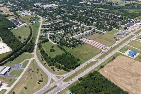
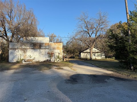
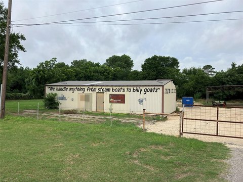
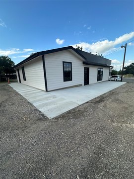
1163 Hwy 67 Alvarado, TX 76009-3213
Property profile & analytics
1163 Hwy 67, Alvarado, TX 76009-3213
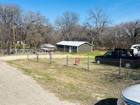
- Commercial land
- 1.10 lot acres
Property ID
US82-7367675
The Realmo ID is a unique identifier assigned to every property, incorporating country codes and precise geo-coordinates for 300x300-foot land blocks. It enables standardized data collection and seamless integration of disparate sources such as ownership, tax, title data and physical specifications. By aggregating current and historical records, the Realmo ID powers advanced analytics and delivers deep, verifiable insights for real estate professionals.
Location Intelligence
Current Use by Public Records
- Commercial land
Property Details for 1163 Hwy 67
- Lot size
- 1.10 lot acres
- Property type
- Commercial land
- APN
- 126.2389.00020
- APU
- 126238900020
Sales History
| Date | Price | Buyer | Seller | Deed Type | Mortgage |
|---|---|---|---|---|---|
| Apr 22, 2019 | — | Superior Grocers INC | A & N Link LLC | Grant Deed | $2.6M · Hometrust Bk |
| Sep 2, 2016 | — | A & N Link LLC | Yug Group LLC | Grant Deed · related | — |
Value Estimations
based on Realmo’s proprietary methodology
-
AI approach
-
CAP approach
-
Comparable approach
-
Alternative Use
Get a detailed, property-specific estimation — fast and free
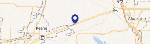
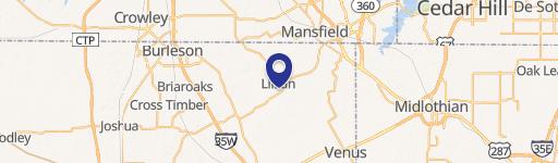
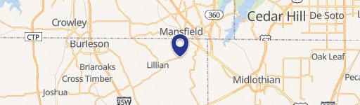
Location Insight
- Map
- Local Demand
- City
- Alvarado
- County
- Johnson
- State
- Texas
- Longitude
- -97.2225
- Latitude
- 32.4149
- CBSA code
- 19100
- CBSA name
- DALLAS-FORT WORTH-ARLINGTON, TX METROPOLITAN STATISTICAL AREA
Property Tax & Assessments
Tax date
Tax Amount
Assessed Land Value
Assessed Improvement Value
Total Assessed Value
Applied Tax Rate
Land Market Value
Improvement Market Value
Total Market Value
2018
$1,464
$53,187
$0.00
$53,187
-
$53,187
$0.00
$53,187