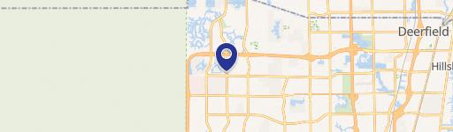
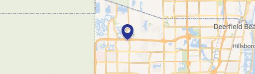
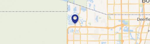
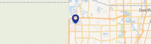
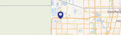
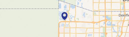
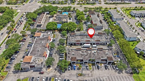
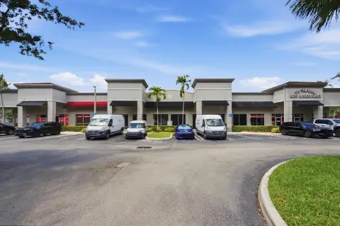
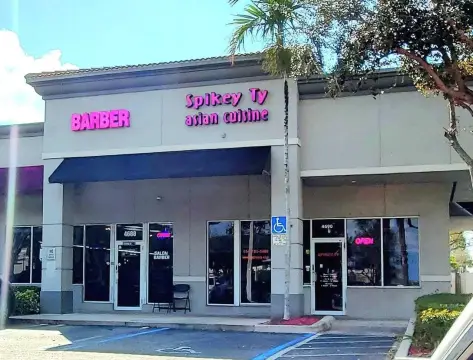
11218-1122 Wiles Rd Coral Springs, FL 33076
Property profile & analytics
11218-1122 Wiles Rd, Coral Springs, FL 33076
- Gas stations
- 1,125 SF
- 1.20 lot acres
Property ID
US19-0384358
The Realmo ID is a unique identifier assigned to every property, incorporating country codes and precise geo-coordinates for 300x300-foot land blocks. It enables standardized data collection and seamless integration of disparate sources such as ownership, tax, title data and physical specifications. By aggregating current and historical records, the Realmo ID powers advanced analytics and delivers deep, verifiable insights for real estate professionals.
Location Intelligence
Current Use by Public Records
- Gas stations
Property Details for 11218-1122 Wiles Rd
- Year built
- 1991
- Construction
- CONCRETE
- Lot size
- 1.20 lot acres
- Zone code
- B-3
- Property type
- Gas stations
- APN
- 48-41-17-10-1340
- APU
- 484117101340
Sales History
| Date | Price | Buyer | Seller | Deed Type | Mortgage |
|---|---|---|---|---|---|
| Apr 17, 2003 | $2,400,000 | Mcalduff & Hrenick INC | Hrenick,andrew & Mary A | Grant Deed · related | $2.4M · Bank Of America |
| — | — | Crystal Petroleum INC | — | Deed Of Trust · related | $16M · Regions Bank |
Value Estimations
based on Realmo’s proprietary methodology
-
AI approach
- Method
- Estimation
- ML approach
- $435,000
-
Comparable approach
- Method
- Estimation
- AI Estimate
- $624,000
Market price range: $207k - $624k
Get a detailed, property-specific estimation — fast and free
Location Insight
- Map
- Local Demand
- City
- Coral Springs
- County
- Broward
- State
- Florida
- Longitude
- -80.2751
- Latitude
- 26.2869
- CBSA code
- 33100
- CBSA name
- MIAMI-FORT LAUDERDALE-MIAMI BEACH, FL METROPOLITAN STATISTICAL AREA
Property Tax & Assessments
Tax date
Tax Amount
Assessed Land Value
Assessed Improvement Value
Total Assessed Value
Applied Tax Rate
Land Market Value
Improvement Market Value
Total Market Value
2023
$50,370
$821,140
$1,477,900
$2,299,040
-
$821,140
$1,477,900
$2,299,040