
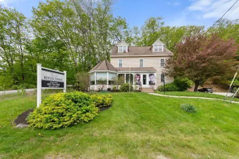
11 Hobart Rd, Bristol, NH 03222-3507
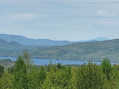
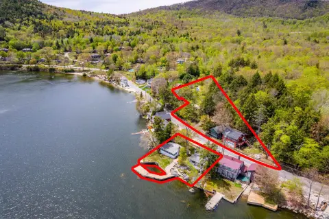
This mixed-use property offers both business and residential opportunities with water views in the lakes region, situated a short walk from the lake. The property was previously operated as a café-style business, open 100 days over the summer months from 6 AM to 2 PM. There is potential for expansion by increasing the number of operating days and hours, as well as adding menu options. The property includes a residential unit that can be rented, used as a residence, or utilized for staff housing. Ample parking is available, potentially allowing for additional income opportunities such as a farm stand or food truck, subject to approvals. The location benefits from high street visibility and signage, with over 6,000 cars passing daily. The lot size is 0.37 acres, and the zoning is 'L'.
Cap rate
Implied · in-place · derived from last sale + estimated NOIValue
AI, CAP & Alternative Use estimations · Realmo proprietary blendProperty tax & assessments
Tax year 2023Comparables
6 recent transactions · within 1.5 miComparable in this City


Similar Nearby for Sale

Property description
Physical attributes from public recordsZoning & alternative use
L · Bristol, NHBristol. Always verify with local authorities before improvements.
Costs & Benchmarks
Operating expenses, capex projections, utility benchmarks, and submarket comparables — all in one view.
Risks
Flood, climate, environmental, title, and tenant-concentration risk — surfaced with mitigations and source citations.


