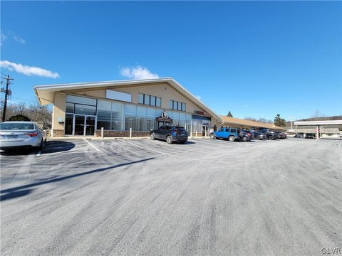
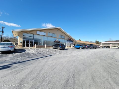
10th St Bethlehem, PA 18015
Property profile & analytics
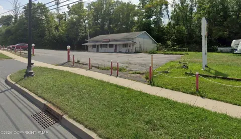
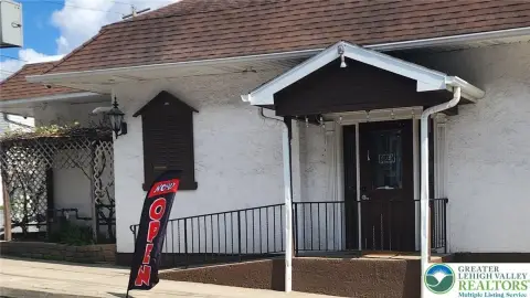
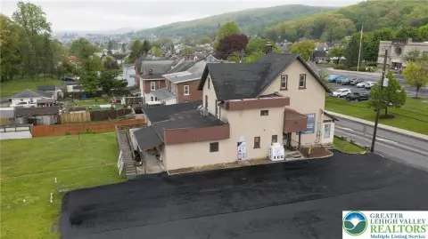
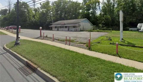
10th St, Bethlehem, PA 18015
- Gas stations
- 3,360 SF
- 0.04 lot acres
Property ID
US73-4155471
The Realmo ID is a unique identifier assigned to every property, incorporating country codes and precise geo-coordinates for 300x300-foot land blocks. It enables standardized data collection and seamless integration of disparate sources such as ownership, tax, title data and physical specifications. By aggregating current and historical records, the Realmo ID powers advanced analytics and delivers deep, verifiable insights for real estate professionals.
Location Intelligence
Current Use by Public Records
- Gas stations
Property Details for 10th St
- Year built
- 1960
- Lot size
- 0.04 lot acres
- Zone code
- RM
- Property type
- Gas stations
- APN
- P7SW1C 4 10 0204
- APU
- P7SW1C4100204
Sales History
| Date | Price | Buyer | Seller | Deed Type | Mortgage |
|---|---|---|---|---|---|
| Mar 14, 2014 | $135,000 | Lila Realty LLC | Ernesto Rodriguez | Deed | $108k · First National Community Bank |
| Jun 16, 2010 | $90,000 | Ernesto Rodriguez | Figueroa P & L Living Trust | Grant Deed | — |
| Nov 24, 2004 | — | Pedro Figueroa | Figueroa,pedro & Laura | Quit Claim Deed · related | — |
Value Estimations
based on Realmo’s proprietary methodology
-
AI approach
-
CAP approach
-
Comparable approach
-
Alternative Use
Get a detailed, property-specific estimation — fast and free
Location Insight
- Map
- Local Demand
- City
- Bethlehem
- County
- Northampton
- State
- Pennsylvania
- Longitude
- -75.3487
- Latitude
- 40.6076
- CBSA code
- 10900
- CBSA name
- ALLENTOWN-BETHLEHEM-EASTON, PA-NJ METROPOLITAN STATISTICAL AREA
Property Tax & Assessments
Tax date
Tax Amount
Assessed Land Value
Assessed Improvement Value
Total Assessed Value
Applied Tax Rate
Land Market Value
Improvement Market Value
Total Market Value
2024
$2,828
$12,900
$19,100
$32,000
-
$25,800
$38,200
$64,000