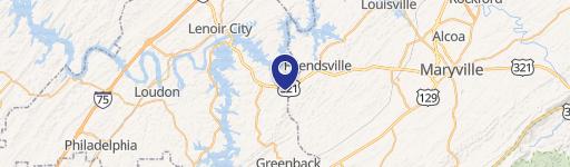
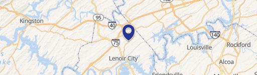
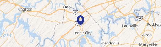
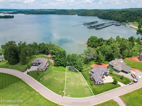
10790 Hwy 321st S Lenoir City, TN 37772
Property profile & analytics
10790 Hwy 321st S, Lenoir City, TN 37772
- Commercial real estate
- 5,781 SF
- 1.39 lot acres
Property ID
US80-2438346
The Realmo ID is a unique identifier assigned to every property, incorporating country codes and precise geo-coordinates for 300x300-foot land blocks. It enables standardized data collection and seamless integration of disparate sources such as ownership, tax, title data and physical specifications. By aggregating current and historical records, the Realmo ID powers advanced analytics and delivers deep, verifiable insights for real estate professionals.
Location Intelligence
Current Use by Public Records
- Commercial real estate
Property Details for 10790 Hwy 321st S
- Year built
- 2002
- Lot size
- 1.39 lot acres
- Zone code
- C-2
- Property type
- Commercial real estate
- APN
- 053027 08901
- APU
- 5302708901
Sales History
| Date | Price | Buyer | Seller | Deed Type | Mortgage |
|---|---|---|---|---|---|
| Jun 9, 2023 | — | Robert D Williams | Robert D Williams | Intrafamily Transfer · related | — |
Value Estimations
based on Realmo’s proprietary methodology
-
CAP approach
- CAP Return
- Estimation
- 6%
- $1,050,000
- 6.5%
- $970,000
- 7%
- $900,000
-
Comparable approach
- Method
- Estimation
- AI Estimate
- $944,000
Market price range: $274k - $986k
Get a detailed, property-specific estimation — fast and free
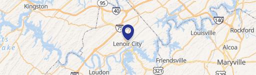
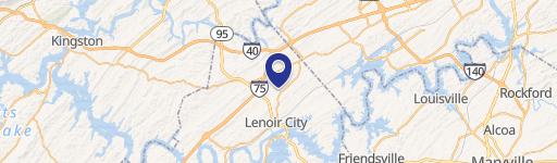
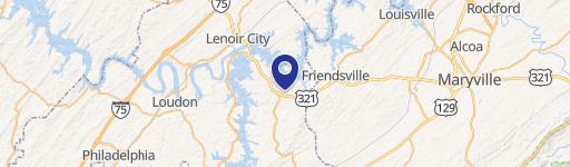
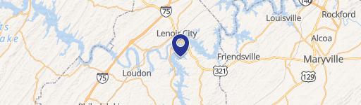
Location Insight
- Map
- Local Demand
- City
- Lenoir City
- County
- Loudon
- State
- Tennessee
- Longitude
- -84.2331
- Latitude
- 35.7733
- CBSA code
- 28940
- CBSA name
- KNOXVILLE, TN METROPOLITAN STATISTICAL AREA
Property Tax & Assessments
Tax date
Tax Amount
Assessed Land Value
Assessed Improvement Value
Total Assessed Value
Applied Tax Rate
Land Market Value
Improvement Market Value
Total Market Value
0
$0.00
$30,880
$192,640
$223,520
-
$77,200
$481,600
$558,800