107362 Us Hwy 395 Coleville, CA 96107-9652
Property profile & analytics
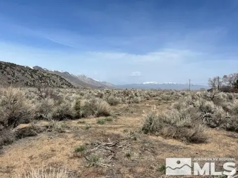
107362 Us Hwy 395, Coleville, CA 96107-9652
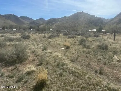
- Commercial land
- 1.56 lot acres
Property ID
US09-1710387
The Realmo ID is a unique identifier assigned to every property, incorporating country codes and precise geo-coordinates for 300x300-foot land blocks. It enables standardized data collection and seamless integration of disparate sources such as ownership, tax, title data and physical specifications. By aggregating current and historical records, the Realmo ID powers advanced analytics and delivers deep, verifiable insights for real estate professionals.
Location Intelligence
Current Use by Public Records
- Commercial land
Property Details for 107362 Us Hwy 395
- Lot size
- 1.56 lot acres
- Zone code
- GP
- Property type
- Commercial land
- APN
- 002-353-008-000
- APU
- 2353008000
Sales History
| Date | Price | Buyer | Seller | Deed Type | Mortgage |
|---|---|---|---|---|---|
| Aug 18, 2021 | $18,000 | Roger Donahue | David J Conner | Grant Deed | — |
| Jan 31, 2018 | $7,253 | David J Conner | Tax Collector /mono County|wilson,rosemary | Tax Deed · related | — |
| Oct 13, 2005 | $75,000 | Rosemary Wilson | Robbins,david L & Susan L | Grant Deed | — |
| Sep 3, 2004 | $36,000 | David L Robbins | Maddox,mary L | Grant Deed | — |
Value Estimations
based on Realmo’s proprietary methodology
-
AI approach
-
CAP approach
-
Comparable approach
-
Alternative Use
Get a detailed, property-specific estimation — fast and free
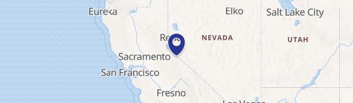
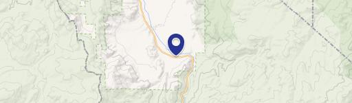
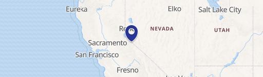
Location Insight
- Map
- Local Demand
- City
- Coleville
- County
- Mono
- State
- California
- Longitude
- -119.475
- Latitude
- 38.516
Property Tax & Assessments
Tax date
Tax Amount
Assessed Land Value
Assessed Improvement Value
Total Assessed Value
Applied Tax Rate
Land Market Value
Improvement Market Value
Total Market Value
2024
$496
$46,818
$0.00
$46,818
-
$0.00
$0.00
$0.00