107 See Map Bldgs, Unit 69 Notre Dame, IN 46556
Property Lookup
Property profile & analytics
107 See Map Bldgs, Unit 69 Notre Dame, IN 46556
- Commercial real estate
- 14,346 SF
- 114.29 lot acres
Property ID
US31-2606397
The Realmo ID is a unique identifier assigned to every property, incorporating country codes and precise geo-coordinates for 300x300-foot land blocks. It enables standardized data collection and seamless integration of disparate sources such as ownership, tax, title data and physical specifications. By aggregating current and historical records, the Realmo ID powers advanced analytics and delivers deep, verifiable insights for real estate professionals.
Location Intelligence
Current Use by Public Records
- Commercial real estate
Property Details for 107 See Map Bldgs
- Year built
- 1999
- Construction
- TYPE NOT SPECIFIED
- Lot size
- 114.29 lot acres
- Property size
- 14,346 SF
- Property type
- Commercial real estate
- APN
- 71-03-25-400-002.000-003
- APU
- 710325400002000003
Value Estimations
based on Realmo’s proprietary methodology
-
CAP approach
- CAP Return
- Estimation
- 6%
- $1,830,000
- 6.5%
- $1,690,000
- 7%
- $1,570,000
-
Comparable approach
- Method
- Estimation
- AI Estimate
- $1,677,000
Market price range: $431k - $1.68M -
Alternative Use
- Use
- Estimation
- COMMERCIAL (GENERAL)
- $1,290,000 Current use
- RETAIL STORES
- $1,290,000 Change: +0% Conversion: Easy
- AUTO REPAIR, GARAGE
- $1,085,000 Change: -16% Conversion: Difficult
Get a detailed, property-specific estimation — fast and free
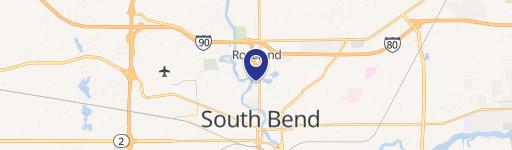
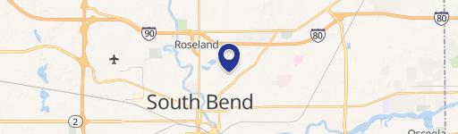
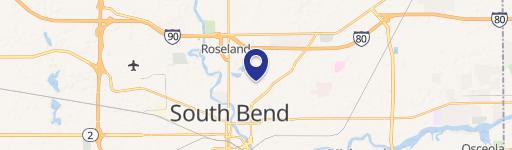
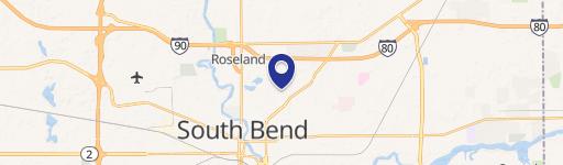
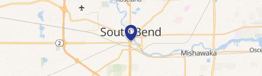
Location Insight
- Map
- Local Demand
- City
- Notre Dame
- County
- St. Joseph
- State
- Indiana
- Longitude
- -86.2415
- Latitude
- 41.7117
- CBSA code
- 43780
- CBSA name
- SOUTH BEND-MISHAWAKA, IN-MI METROPOLITAN STATISTICAL AREA
Property Tax & Assessments
Tax date
Tax Amount
Assessed Land Value
Assessed Improvement Value
Total Assessed Value
Applied Tax Rate
Land Market Value
Improvement Market Value
Total Market Value
2023
$60
$11,886,200
$9,700,100
$21,586,300
-
$11,886,200
$9,700,100
$21,586,300